
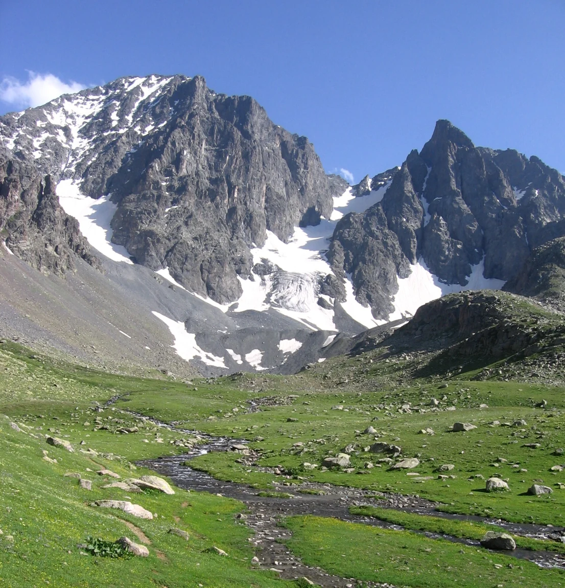
Glacial Record in Kavron Valley
Research by Akçar and colleagues dated glacial deposits in Kavron Valley, mapping one main valley and three tributary valleys descending from the high terrain. Their study places a large glacial advance between approximately 26,000 and 18,300 years ago and traces the subsequent separation of a trunk glacier into distinct tributary ice bodies. The upper landscape retains the cirques and enclosed basins formed by that period of erosion.
Büyük Deniz Gölü
Büyük Deniz Gölü, recorded in the Eastern Black Sea Cultural Inventory as a glacial lake, occupies one of the high enclosed basins well below the summit. It lies within a broader mosaic of lakes, exposed rock, and seasonal pasture that characterises the terrain above the treeline across the Kaçkar Dağları.
Yaylas, Villages, and the National Park
The national park boundary established on 31 August 1994 explicitly includes inhabited yaylas and permanent villages alongside the alpine terrain, an arrangement documented by the Ministry of Agriculture and Forestry through its area guide training program. Seasonal transhumance has shaped the open character of the upper valleys, contributing a cultural landscape that the park protects alongside its glacially sculpted geology.