
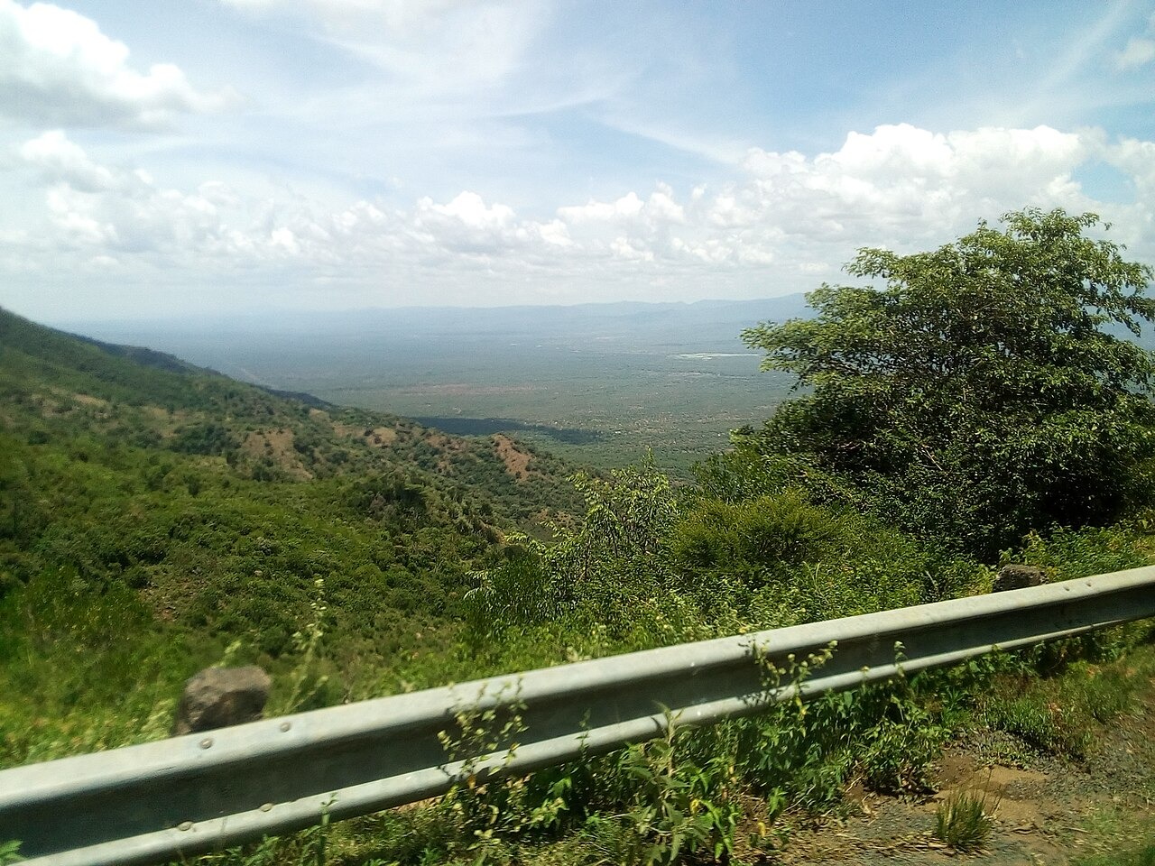
Rift Geology and Sedimentary Strata
A geological map in the Kenya Climate-Smart Agriculture Programme’s report shows Kabarnet trachytes and the Lukeino and Riwo sedimentary units in the wider hill country. Field studies of the Tugen Hills also document places where sediment accumulated between separate lava flows.
Fossil Record and the Kipsaraman Site
The National Museums of Kenya operates Kabarnet Museum, which includes displays on the environment and cultures of the Rift Valley. The museum documents the Kipsaraman fossil locality in the western hills, at about 1,840 to 1,940 metres.
Drainage and the Kerio Valley Descent
The Kabarnet municipal plan records the hills as a divide between the Kerio Valley and drainage toward Lake Baringo. The Kirandich and Kiboino rivers rise in the surrounding hills.