
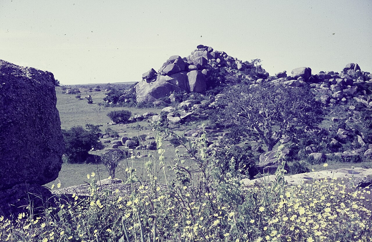
Jurassic Ring Granites and Crystalline Basement
The plateau's geology records two major episodes of rock formation. An older crystalline basement underlies much of the upland, while a younger suite of Jurassic granite ring complexes — known formally as the Younger Granites — intrudes across the landscape. Separate volcanic features form additional elements of the regional geology, documented in the Springer landforms study of the Jos Plateau.
Rivers Radiating from the Upland Interior
This radial drainage pattern, described in the Springer landforms chapter, reflects the plateau's elevated position relative to the surrounding plains and has shaped the dissected terrain visible across its margins.
Colonial-Era Tin Mining and Radioecological Research
Tin extraction began during the colonial period and left a material imprint across the plateau in the form of excavations and water-filled pools. A 2015 study published via PubMed Central measured radioactivity levels at specific former mining sites on the plateau, providing baseline data on the radioecological conditions associated with those locations.