
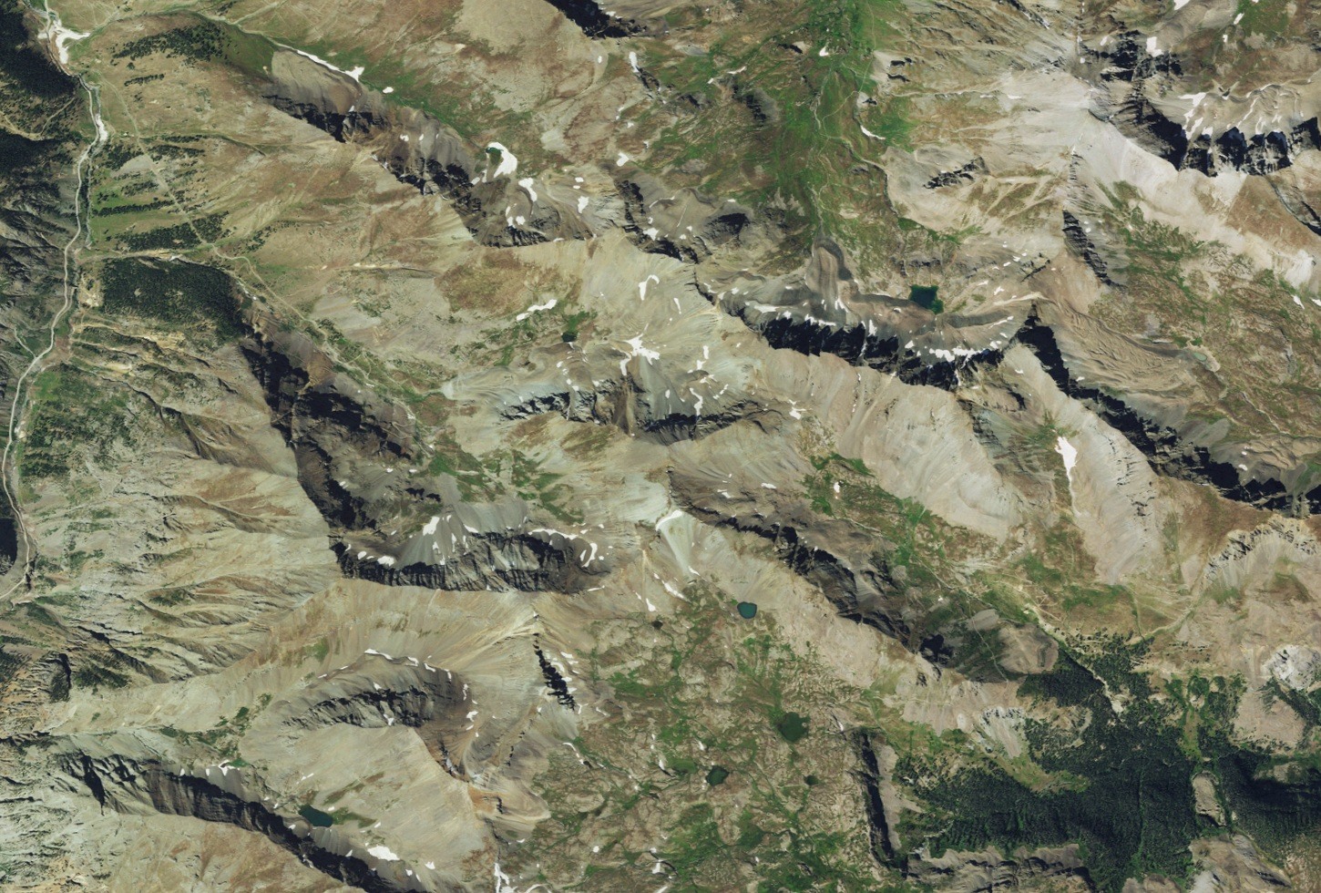
Topographic Setting
The USGS Handies Peak quadrangle documents Jones Mountain's position relative to the surrounding ridgeline and Handies Peak to the northeast. The landscape reflects prolonged late Cenozoic volcanic deposition across the San Juans followed by repeated glacial erosion, processes documented in the 1987 USGS geologic survey of the Handies Peak quadrangle.
Early Geologic Mapping
USGS Bulletin 182, published in 1901, explicitly labels Jones Mountain alongside Handies Peak and American Basin on its regional map, tying the peak's named presence to early federal surveys of the surrounding mineral terrain and establishing it as a recognized landmark within the broader San Juan survey record.
Burrows Park District
The Burrows Park mining district, documented in USGS Bulletin 2213, represents historically recorded mineral activity in this part of the San Juans.