
Volcanic Topography and Hydrology
A groundwater study published in the journal Water describes the area's geology as moderate-relief volcanic-rock plateau with valley alluvium and converging stream channels. The streams drain into the Gilgel Gibe catchment. Hilltop positions like Jiren sit above the valley floors, where alluvial material and perennial flow characterise the drainage network.
The Kingdom of Jimma and Jiren Palace
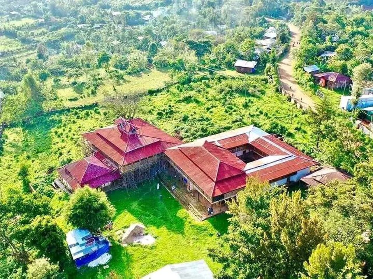
The Jiren hilltop is the seat associated with the Kingdom of Jimma and the palace of Abba Jifar. The Oromia Tourism Commission and other sources place construction of the palace in the nineteenth century, though sources disagree on the precise decade. The hilltop position made Jiren the administrative and symbolic centre of the Jimma kingdom before incorporation into the Ethiopian state.
Coffee Research at Jimma
The Ethiopian Institute of Agricultural Research documents the opening of the Jimma Agricultural Research Centre in 1967. The centre holds national responsibility for Coffea arabica research and has operated continuously since that date. The Jimma zone, including the Jiren hills and surrounding uplands, lies within the broader southwestern Ethiopian region associated with arabica diversity.