
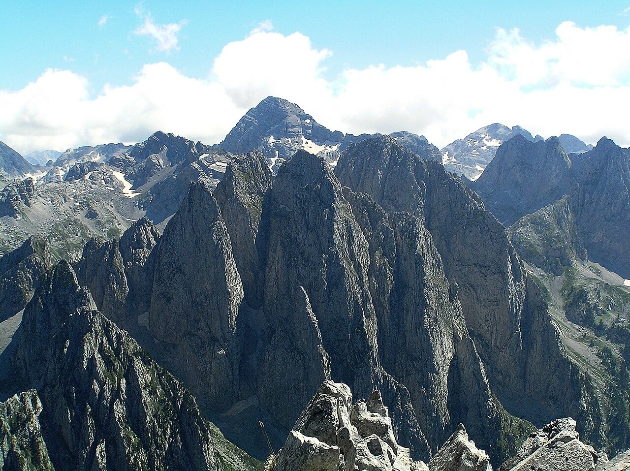
Limestone terrain and glacial landforms
Jurassic and Triassic limestone dominates the bedrock of the massif, and former glaciation has sculpted cirques and valley heads across the range. The peak stands between the Valbona valley to the east and Theth to the west, with steep cliff systems dropping from the summit into these glacially carved basins. The University of Graz's lichen survey and Albanian Alps bedrock synthesis documents the limestone substrate that underlies both the summit cliffs and the surrounding high terrain.
Ice bodies and moraine record
Philip Hughes's primary field survey, published in Arctic, Antarctic, and Alpine Research, documented small ice bodies and moraine ridges in the Llugu i Zajave sector below the cliffs. The survey recorded how localised topography — shaded aspects, cliff-derived avalanche accumulation, and high elevation — permits snow and ice to persist in this sector. The moraine ridges Hughes identified mark earlier margins of these ice bodies, providing a physical record of their past extent. The survey represents a point-in-time observation and does not constitute a claim about current ice conditions.
Protected status and designation
The Albanian National Tourism Agency designates Maja Jezercë as a national natural monument, a status that reflects both its position as the range high point and the ecological character of the Albanian Alps National Park in which it stands. The GeoNames gazetteer places the summit at approximately 42.442 N, 19.813 E, consistent with the field survey map, within the northern Albanian highlands where the Prokletije straddles the Albanian border zone.