
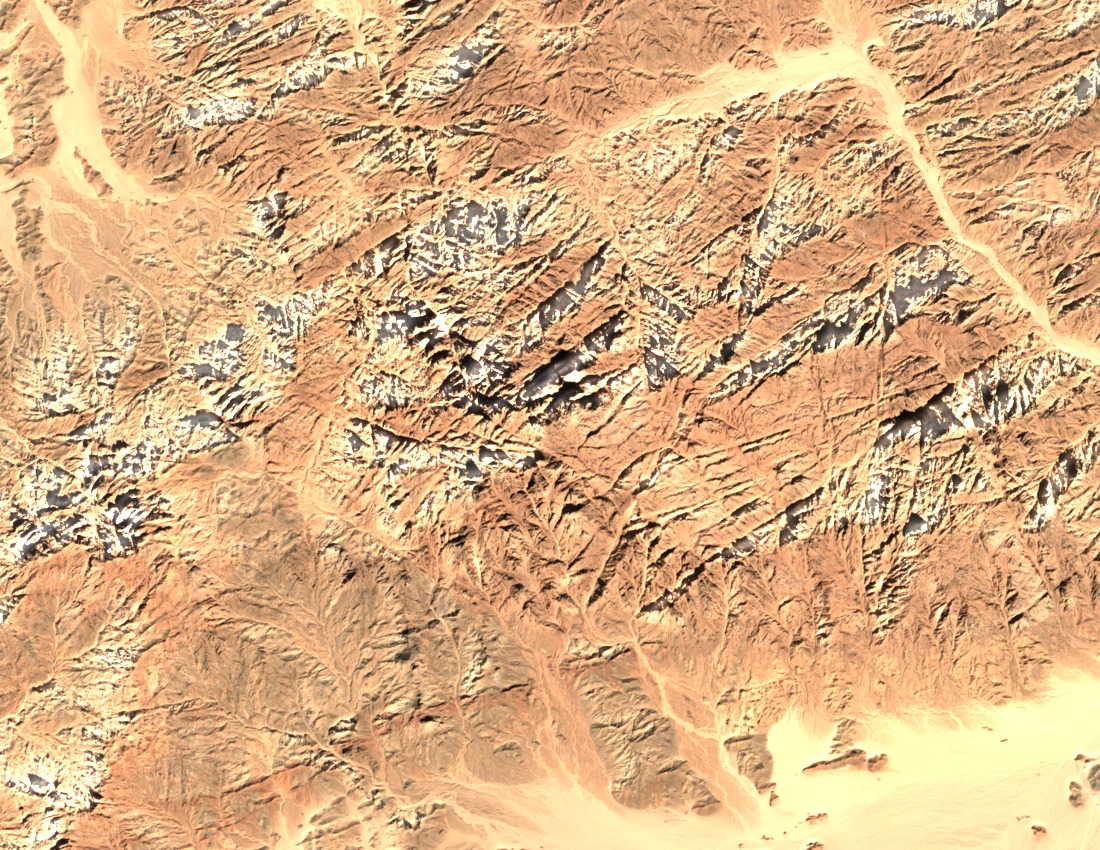
Igneous Basement and Eastern Desert Setting
The peak rises within the Northern Red Sea Hills, a range defined by exposures of Precambrian igneous basement rocks characteristic of the broader Eastern Desert. The surrounding terrain descends through dry rocky slopes and dissected wadis typical of this arid highland zone, with the massif forming a prominent landmark above the coastal plain.
2025 Geological Mapping by NARSS
The Egypt National Authority for Remote Sensing and Space Sciences produced a 1:100,000 geological mapping sheet for the Shayib Al Banat and Safaga area in 2025, integrating satellite imagery, previous geological maps, and field verification. The project included spectroradiometry, measuring the spectral reflectance of exposed rock surfaces to distinguish lithological units from remotely sensed data.
2021 Vegetation Inventory of the Gebel Shayeb Group
A published field study in the Aswan University Journal of Environmental Studies recorded 33 plant species belonging to 22 families across the Gebel Shayeb group. The inventory documented distinct assemblages on dry rocky slopes and within wadi floors, reflecting the influence of drainage and substrate on species distribution. The survey authors proposed the area for conservation consideration.