
Nabataean Inscriptions and Summit Features
Stone inscriptions of Nabataean origin have been recorded across the mountain's flanks, and a built stone mound near the summit was noted by historical visitors. Avner documented these features during a field visit in June 1979, adding them to a broader survey of inscribed sites across southern Sinai. The mound's function and precise date remain subjects of ongoing archaeological discussion.
Nineteenth-Century Proposals and James McDonald's Panorama
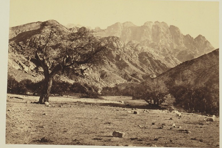
Several nineteenth-century scholars proposed Jebel Serbal as the location of the biblical Mount Sinai, though these remained competing scholarly identifications rather than an established consensus. The British Library holds a panoramic view attributed to James McDonald, taken from Jebel Tahuneh during the 1868–69 Ordnance Survey expedition, which provides one of the earliest photographic records of the mountain's profile.
Granite Slopes and Pistacia khinjuk Communities
A 2006 field survey published in Catrina recorded abundant Pistacia khinjuk across the red-granite slopes and within the mountain's gorges, mapping distinct plant communities tied to these habitats. The study characterised vegetation structure at the habitat level, offering a systematic baseline for understanding the botanical assemblages associated with Jebel Serbal's granite terrain.