
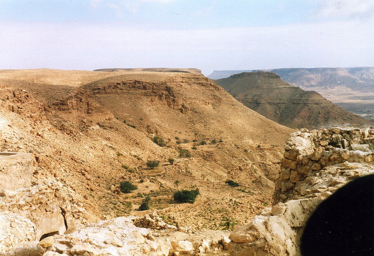
Jurassic and Cretaceous Carbonate and Clastic Strata
Geological mapping published in Libyan Studies identifies carbonate and clastic sedimentary rocks of Jurassic and Lower Cretaceous age across the Nafusa scarp. These marine and transitional strata record shifting depositional environments over tens of millions of years and form the structural foundation of the escarpment's stepped terrain.
Aterian Stone-Tool Sites at Late Pleistocene Springs
Research published in the Journal of Human Evolution documents geoarchaeological sites in the Jebel Gharbi, the same formation recorded elsewhere as Jebel Nafusa. At spring locations associated with late Pleistocene ground displacement and formation, Aterian stone-tool contexts have been dated to approximately 80,000–40,000 years ago, placing sustained human activity here deep in the late Quaternary.
Hill Settlements and Ibadi Scholarship at Nalut and Cabao
The University of Bologna has studied settlement form and architecture in Nalut, Cabao, and Ulad Mahamud, documenting how communities organized dense hilltop towns across the escarpment. The University of Nalut has separately examined the mountain's place in Ibadi chronicles, tracing how local scholars recorded Nafusa's communities and legal traditions in published Ibadi literature.