
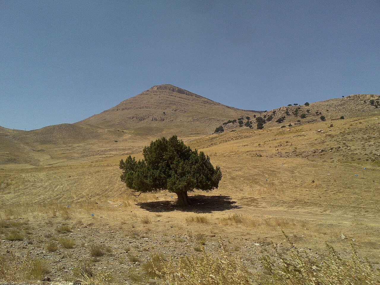
A Fold in the Limestone
A 1984 field survey documented a syncline about 6 km long and 1.5 km wide. In a syncline, the rock beds dip inward toward the axis of the fold.
Basins and Dolines
The survey mapped closed basins, isolated dolines and places where rock had collapsed. Dissolving limestone can help deepen the depressions that mark this part of the mountain.
Grassland at High Elevation
An IUCN account describes upland grassland in the Western Aurès in areas previously occupied by cedar and juniper. It singles out the grass Festuca aurasiaca in its assessment of the area.