
North-Slope Woodland Sequence
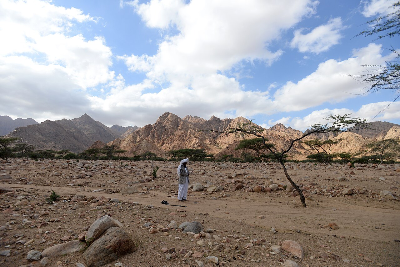
On the sampled north-facing slopes, researchers recorded a vertical sequence of tree communities shifting with elevation. Vachellia woodland occupies the lower reaches, giving way to a transitional belt where Ficus establishes, and Olea woodland characterises the higher ground. Wadi Aidieb and Wadi Yahmib channel drainage through the terrain and shape local conditions along this gradient.
Sea Mist and Slope Hydrology
Moisture from the Red Sea rises against the upper slopes and condenses, supplementing the scarce rainfall that characterises the surrounding arid landscape. This orographic mist sustains the woodland communities documented on north-facing terrain, where aspect and elevation together moderate temperature and water availability across the mountain's flanks.
Vegetation Mapping Through Plot Data and Terrain Variables
A 2021 study by Abutaha and colleagues, published in Applied Vegetation Science, combined 133 vegetation plots each measuring 100 square metres with remotely sensed terrain variables to produce predictive maps of plant community distribution. The approach connected direct field measurements to broader spatial patterns across the mountain's varied topography.