
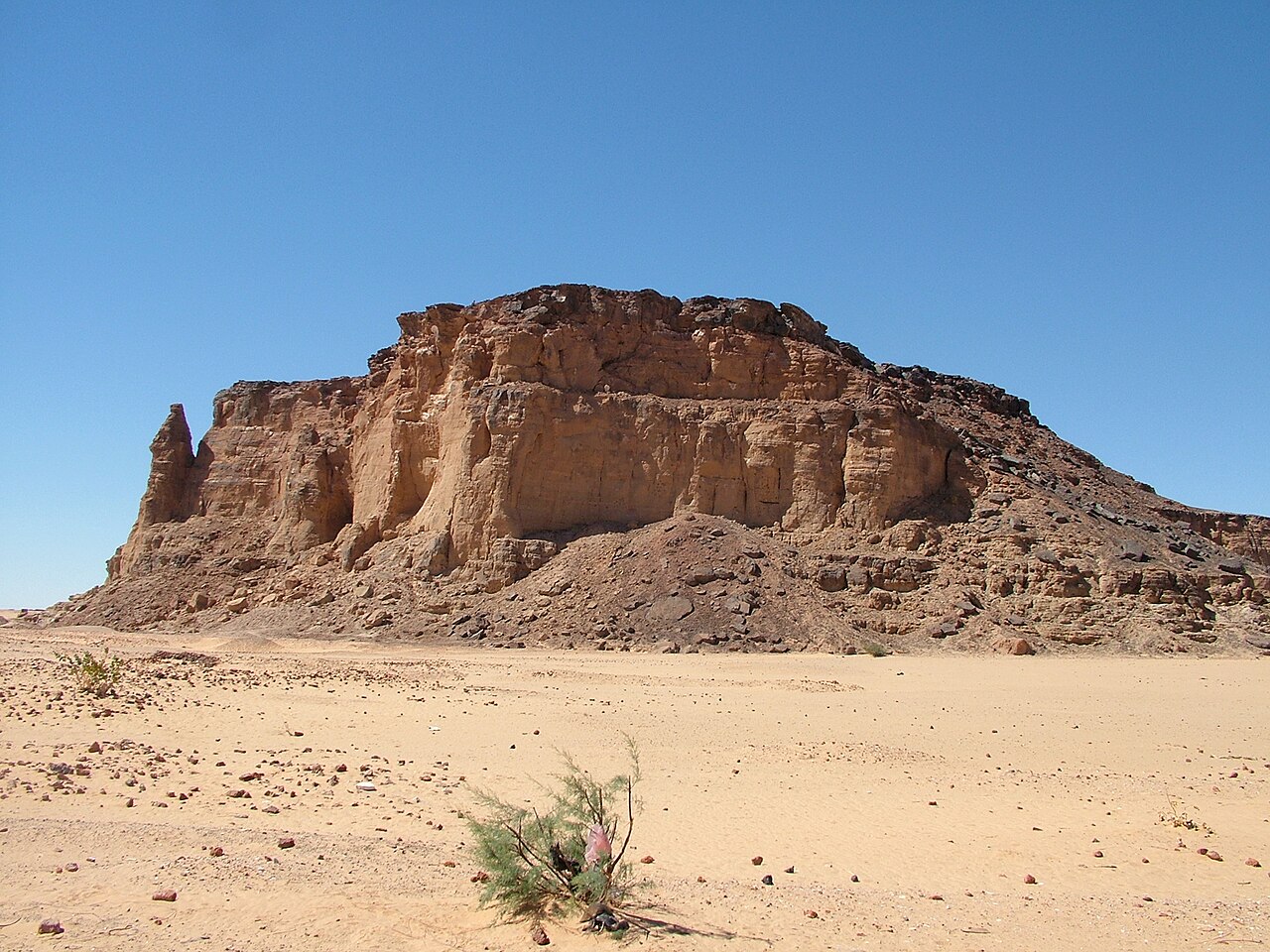
The Outcrop and Its Temples
The vertical walls of the flat-topped mesa made Jebel Barkal a visual and symbolic landmark within the Nile Valley. During the New Kingdom, Egyptian builders constructed a temple of Amun at the base of the rock, and that temple was subsequently expanded. The outcrop stood at the centre of the Kushite royal city of Napata, and the relationship between the rock, the god, and royal power became foundational to Kushite identity. Among the surviving imagery in the rock-cut temple of Mut, UNESCO describes a scene in which the pharaoh Taharqa is shown worshipping Amun within the mountain itself, an explicit statement of the belief that the god resided inside the rock.
A UNESCO World Heritage Landscape
UNESCO's 2003 World Heritage inscription covers five archaeological sites distributed across the broader Napatan region, encompassing cemeteries, settlements, and ritual spaces on both sides of the Nile. The collective inscription frames Jebel Barkal as the religious and political core of a landscape shaped by centuries of Kushite rule. The local relief of approximately 100 metres is the figure reported by UNESCO and reflected in the site's catalogue record.
Archaeological Investigation
Beginning in 2016, the University of Michigan's Kelsey Museum conducted fieldwork at Jebel Barkal under the Jebel Barkal Archaeological Project, combining geophysical survey with excavation. The project directed attention toward evidence of settlement beyond the royal and temple zones that earlier work had prioritised, aiming to build a fuller picture of how ordinary occupation related to the monumental core of Napata. Geophysical methods allowed researchers to identify buried features without immediate excavation, extending the spatial scope of investigation across areas where surface evidence is limited.