
Summit Elevation and Position within the Rif
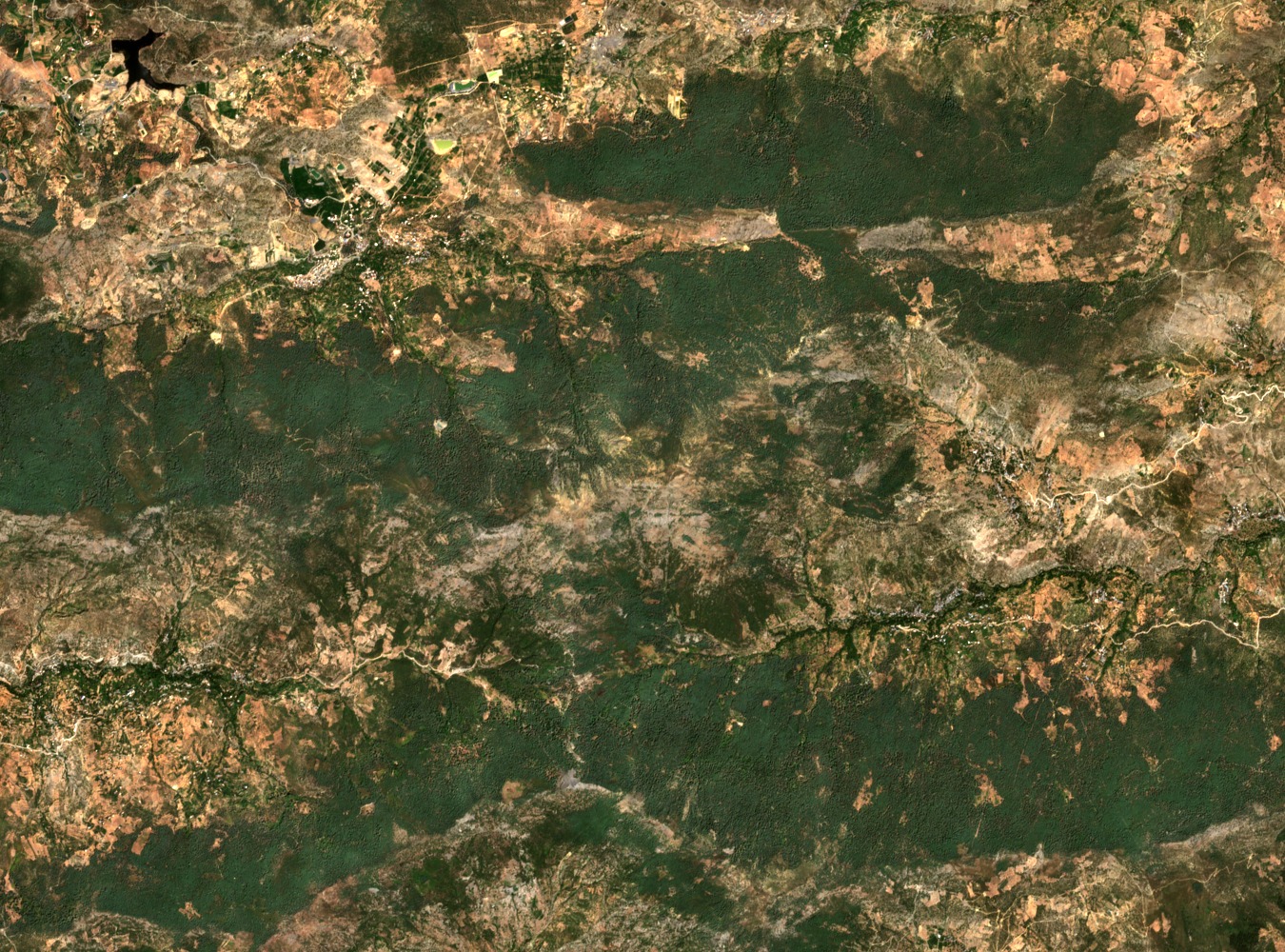
At 2456 m, Jbel Tidighine is the definitive high point of the Rif, a range that the IUCN describes as running parallel to the Mediterranean and ascending steeply from the coast. This coastal orientation gives the summit a pronounced vertical relief relative to the sea, distinguishing the Rif topographically from the inland Atlas chains further south.
Limestone Geology and Surrounding Rock Types
Research by Arabi et al. identifies limestone as a significant lithological unit at Tidighine. The broader Rif is geologically mixed, with varying rock types across the range, and the mapped limestone occurs within that varied context. Surrounding formations include other sedimentary and metamorphic units characteristic of the region.
Drainage Basins, Groundwater, and Provincial Relief
Field sampling by Arabi et al. in the Bokoya and Ghis–Nekor basins documents the groundwater context of the central Rif region. A study of the Al Hoceima province notes that the terrain around Tidighine is characterised by steep slopes and enclosed depressions, features that shape local drainage patterns and land use across the surrounding communes.