
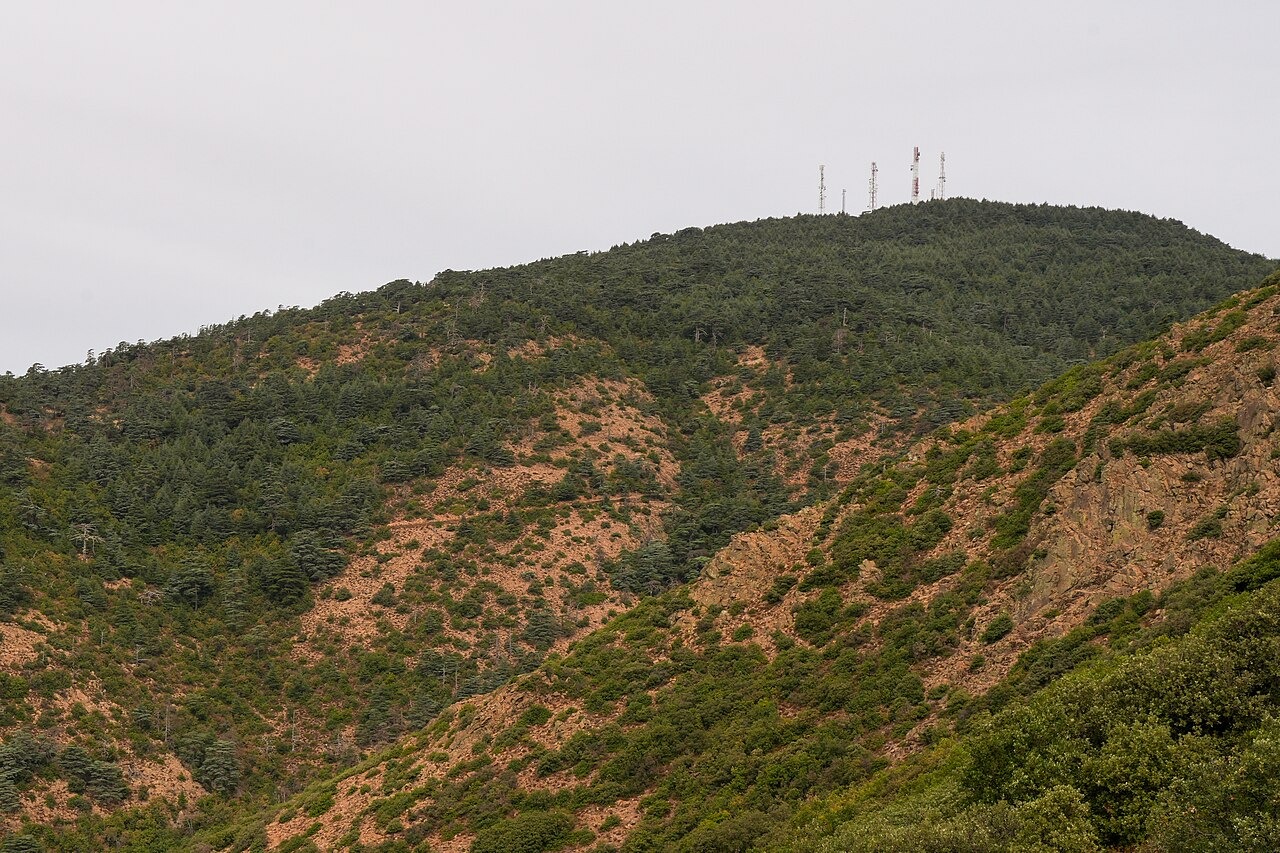
Relict Atlas Cedar Stand at the Summit
A single isolated stand of Cedrus atlantica occupies the summit zone, representing one of the northernmost natural occurrences of Atlas cedar in the Middle Atlas range. The Key Biodiversity Areas programme records this relic forest as a designated site, with the cedar population surveyed descending toward approximately 1,130 m within the KBA boundary. The Morocco Convention on Biological Diversity portal identifies the summit stand as a primary feature of the national park.
Oak Mosaics and Dayat Chiker Across the Massif
Beyond the cedar, the massif supports mosaics of Holm oak and cork oak documented by the Moroccan Ministry responsible for the national parks portal. Dayat Chiker, a seasonal lake feature associated with the broader Tazzeka area, adds a distinct wetland character to the landscape. The Toubkal thesis survey classified the full range of plant communities across the 500–1,980 m altitudinal span of the massif.
Tazekka–Bsabis–Bekrit Structural Lineament
Regional geological mapping by the Moroccan Ministry of Energy and Mines identifies the Tazekka–Bsabis–Bekrit structural lineament as a major fault running through this part of the Middle Atlas. This feature appears on the ministry's published geoscientific map series and shapes the broader geomorphological framework within which the massif sits. The lineament is documented at the regional mapping scale rather than as a surface feature of the summit itself.