
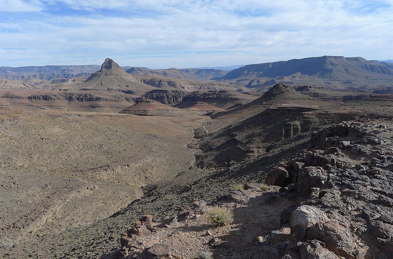
Ouarzazate Group Ignimbrites and Rhyolites
The Moroccan Ministry of Energy and Mines geological guide to Jbel Saghro describes older volcanic rocks belonging to the Ouarzazate Group, which include mapped ignimbrites and rhyolites laid down during an earlier phase of regional volcanic activity. These formations are distinct from younger lavas sampled at three sites across the massif, which a 2023 study published in Geochemistry, Geophysics, Geosystems dated to approximately 8.6, 5.4, and 2.4 million years ago, connecting their emplacement to Atlas uplift dynamics.
Aït Atta Seasonal Movements Across the Massif
The Amazigh Archive records that the Aït Atta confederation historically practised seasonal pastoral movement between Saghro highland pastures and the surrounding lowlands. These transhumance patterns shaped land use across the massif over generations and remain part of the documented cultural geography of the region.
The 1933 Battle of Bou Gafer
In 1933 the Aït Atta mounted resistance to French pacification forces at Bou Gafer, a site on a separate part of the massif. The Amazigh Archive identifies Assou Ou Basslam as the leader on the Aït Atta side. The engagement is recognised as one of the final episodes of armed resistance in the southern Moroccan ranges during the French Protectorate period.