
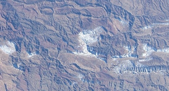
Elevated Syncline over Triassic Strata
M'Goun Geopark training materials describe Jbel Rat as a folded basin-like syncline sitting atop Triassic units, a structural inversion in which younger beds occupy the topographic high. The Moroccan Ministry of Energy and Mines references the Jbel Rat Formation in its regional geological catalogue, placing the massif within the carbonate sequence that characterises this portion of the Central High Atlas.
Rock Engravings at the Northern Foot and Tizi n'Tighist
ICOMOS INORA field documentation by Bravin records engraved panels at the northern foot of the massif and at the Tizi n'Tighist saddle. The figures include riders and human representations. The corpus spans more than one period and stylistic tradition, and ICOMOS does not assign a single uniform date to the ensemble.
Pastoral and Pilgrimage Use of the High Mountain Zone
IRD research describes Jbel Rat within a high-mountain pastoral context and identifies the site as a former place of pilgrimage. Seasonal herding and the religious tradition it documents reflect longstanding human engagement with the massif's upper terrain, though IRD does not specify fixed calendrical schedules or the precise origins of the cult.