
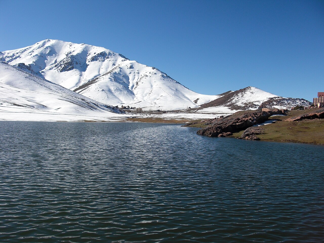
Summit and Setting
Oukaïmeden was first a summit name before the growing resort adopted it too. The 1966 Moroccan IGN map records the summit at 3,262 m. The 2021 field map places Jbel Angour southeast of the basin and Adrar n'Ouchattar to its northeast, both distinct mountains.
Summer pasture and rock engravings
Near the ancient granite basement, the basin floor holds summer pastures at roughly 2,600 m. Sandstone outcrops around the basin preserve engraved daggers and large human figures. Under a traditional agdal agreement, the Ourika and Rherhâia pastoral communities hold back grazing to allow vegetation to recover, then reopen the land together at a ceremony the team documented in August 2005.
Skiing and snow observation
In 1936 the Marrakech section of the French Alpine Club opened a chalet in the basin. A weather station at 3,230 m on the upper northern flank was fitted with an acoustic sensor for snow depth. A 2019 study by Baba and colleagues drew on snow and satellite data to examine variable snow cover in the Rheraya catchment. In Boudhar's model covering five winters between 2003 and 2010, sublimation, the direct conversion of snow to water vapor without melting, accounted for 7 to 20 percent of seasonal snow loss at the station.