
Shared pasture and the agdal
IRD fieldwork documented how surrounding Ourika and Rherhâia communities share the plateau's wet summer pasture, drawing herders from 28 villages recorded in a historical report. The plateau functions as an agdal, a pasture closed seasonally to allow vegetation recovery before collective use resumes. A researcher photographed its reopening on 10 August 2005, capturing this regulated practice as a documented event. Historical records traced in a British Museum project place organised summer pasture use as far back as the sixteenth century.
Stone shelters and the ski settlement
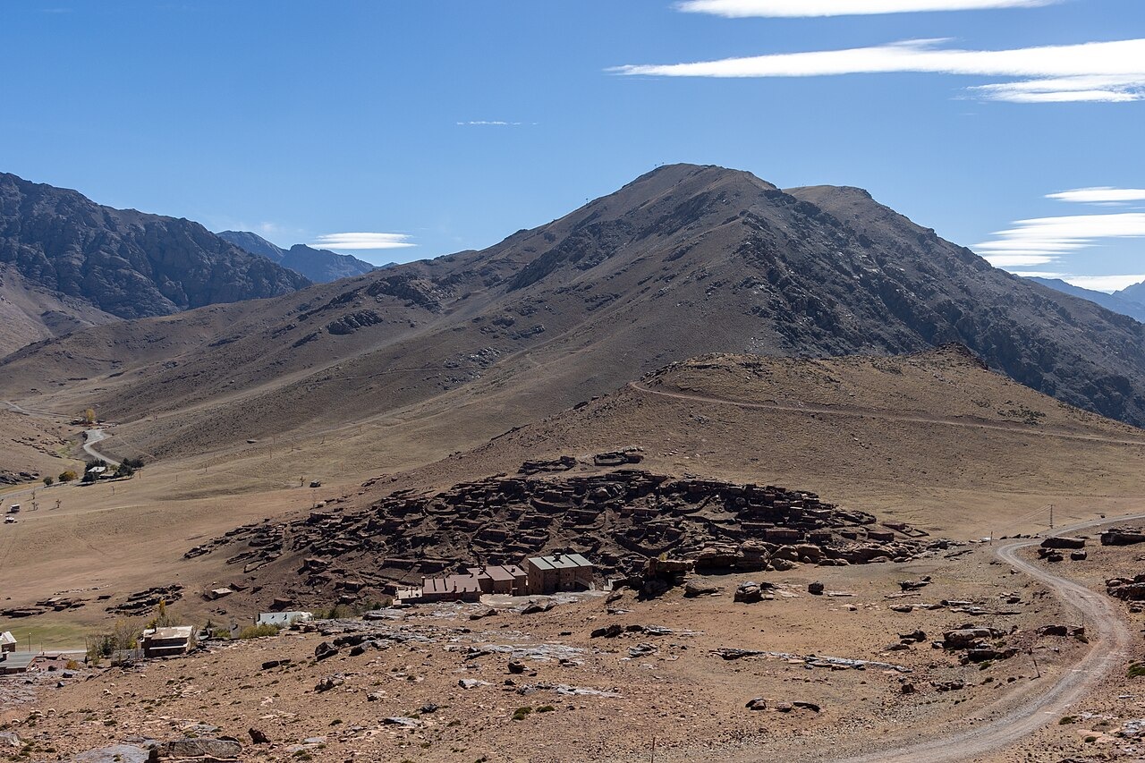
The 2005 IRD photograph shows the ski village, whose construction began during the French Protectorate period and continued after Moroccan independence, alongside Fafitra, the seasonal stone encampment known as an azib belonging to the Aït Oussertak community. A 1949 French Protectorate decree designated the plateau's pastures for public use, and the subsequent development of the resort led to the expropriation of part of that grassland. The azib at Fafitra consists of dry-stone seasonal shelters occupied by transhumant herders during summer months, while the ski village comprises permanent resort structures built for recreation.
Rock engraving documentation
The British Museum’s rock art project documents about 250 sites and approximately 1,000 rock engravings distributed across the valley, depicting elephants, cattle and human figures alongside representations of weapons. The Moroccan-Spanish ARPA initiative extended this work through systematic survey and targeted excavation. Among the most concrete evidence from these investigations is the pottery recovered from the excavated Neolithic shelter at Aougnin n'Aït Ourigh.