
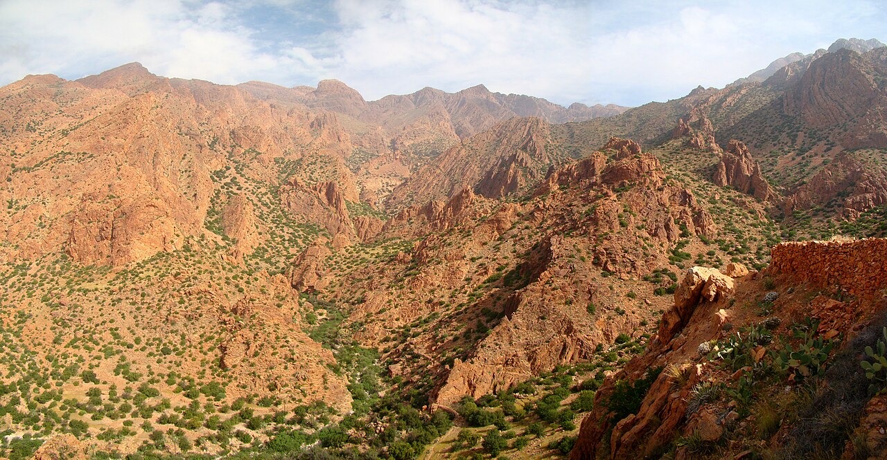
Quartzite Ridge Separated from the Tafraout Granite Batholith
The Ammeln Valley divides Jbel Lkest's quartzite highlands from the Tafraout granite batholith to the south. French geomorphological mapping published in Méditerranée (1981) documents this boundary, distinguishing the two rock masses across the valley floor. Weathered scree derived from the quartzite ridge is recorded along the mapped contacts, reflecting the contrasting erosion rates of the two lithologies.
Mylonites and Ductile Deformation in the Ameln Fault Zone
A 1985 petrostructural field survey published in Sciences Géologiques examined rocks in the Ameln ductile fault zone and identified mylonites — rocks deformed plastically at depth — within that structural corridor. The study mapped the fault zone's extent and recorded the fabric of deformed material, contributing to understanding of crustal deformation in the Anti-Atlas basement. The Moroccan geological survey has since mapped quartzite exposures and rock contacts along the ridge.
Ammeln Valley Settlements at the Foot of the Ridge
The Ammeln Valley below Jbel Lkest is home to a string of villages whose agriculture and daily life are tied to the valley floor. The Souss-Massa regional tourism authority recognises the valley communities as a defining feature of the area, noting the relationship between the ridge's sheltering topography and the lower terrain where settlements are established.