
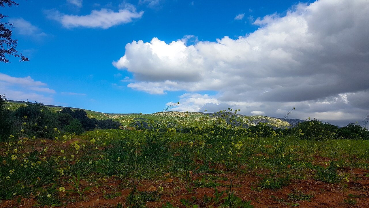
A Fold in the Atlantic Atlas
Jbel Lahdid is an anticline, a ridge formed where the rocks are folded upward. Geological studies place a sedimentary basin between Jbel Lahdid to the north and the Amsitten fold to the south. The folds deform sediments deposited on the Atlantic margin.
Wind Exposure and Energy Infrastructure
The European Investment Bank’s environmental assessment describes the long crest and its exposure to wind. Morocco’s electricity and water authority commissioned the 270 MW Jbel Lahdid wind farm in October 2024.
Name and Location
The ridge rises above the Haha–Chiadma plateaus northeast of Essaouira. Sources use several spellings for it, including Jbel Lahdid and Jebel El Hadid.