
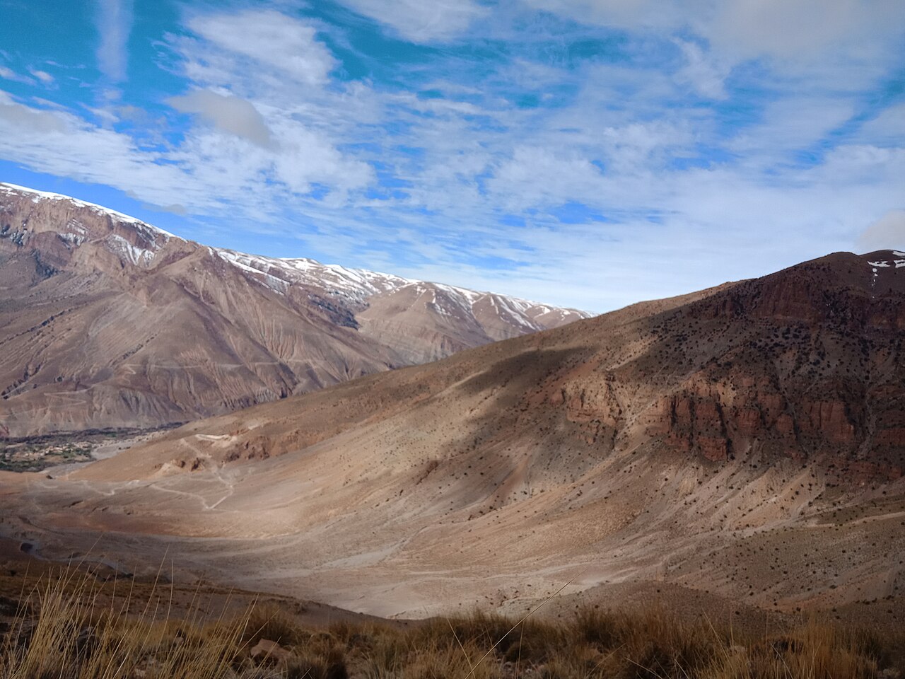
Jurassic Limestone Ridge on the South Middle Atlas Fault Zone
The summit block is composed of Jurassic limestone deformed along the South Middle Atlas Fault Zone. Field observations published in Comptes Rendus Geoscience in 2007 documented active faulting, differential drainage patterns, and structural controls that govern the present relief of the front range. The northern and southern flanks show contrasting erosion profiles linked to these tectonic boundaries, with the drier, more rugged southern slope facing toward the Missour Basin.
Cedar, Juniper, and the Atchana Cirque
The Moroccan biodiversity clearing-house lists Bou Naceur as Site of Biological and Ecological Interest number 21, documenting cedar and juniper forest on the mid-elevation slopes and high-elevation grassland toward the summit ridge. The Atchana cirque, noted in the government profile, forms a distinct glacially shaped hollow on the massif. These habitats grade sharply into steppe on the eastern exposure, where the terrain opens toward the Missour Basin lowlands.
Eastern Steppe Avifauna at the Forest Margin
The eastern flank of Bou Naceur, where cedar and juniper forest gives way to open steppe, provides habitat conditions associated with species such as the cream-colored courser and desert wheatear, both characteristic of the eastern Moroccan steppe edge documented in the site's biodiversity profile. This transition zone, where the massif's elevation falls toward the basin, represents the ecological boundary described in the clearing-house record for the site.