
Taffert and Moussa ou Salah: Two Conservation Sectors on the Northern Flank
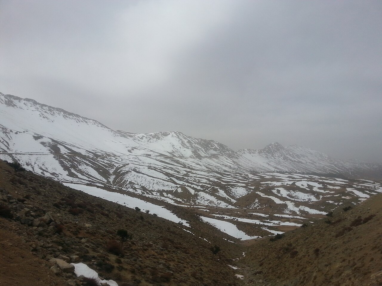
The Morocco Convention on Biological Diversity portal designates two SIBE sectors on the massif's north-facing slopes: Taffert and Moussa ou Salah, the latter positioned at around 3000 metres. These sectors protect a forest mosaic in which Atlas cedar grows alongside Juniperus thurifera, a distribution that reflects the specific moisture and exposure conditions of the northern aspect. The Jurassic limestone ridges above the treeline transition to open rocky terrain, contrasting with the denser woodland below.
Glacial Troughs and Terminal Moraines on the Southeastern Slope
IRD Quaternary research identifies glacial troughs and terminal moraines on the southeastern flank of Bou Iblane, with moraine deposits reconstructed at around 2750 metres. These landforms record the former extent of ice during past cold phases, though no current glacier exists. IRD researchers have also interpreted karst hollows in the high plateau as features that concentrated snow accumulation during those periods, linking dissolution topography to the glacial record.
Geomorphological Field Inventory between Taza and Bou Iblane
A geomorphosite inventory of the eastern Middle Atlas published in the Athens Journal of Tourism (2026) documents field sites across the zone between Taza and the Bou Iblane massif. The study applies heritage valuation methods to karst and glacial landforms in this sector, situating Bou Iblane within a broader regional framework of geoheritage assessment. The inventory provides a systematic record of geomorphological features that complements the glacial reconstructions carried out by IRD.