
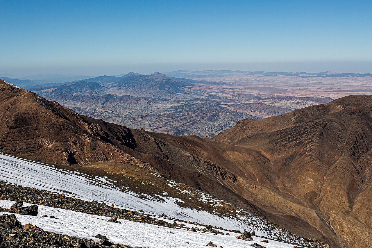
Early Jurassic Limestone and Structural Setting
The Ayachi massif is composed in significant part of early Jurassic carbonate rock. This limestone records a period of marine sedimentation later deformed during Atlas orogenesis. The layered and fractured character of the formation governs both the topographic outline of the massif and the pathways through which surface water enters the subsurface.
Glacial Cirques and Moraines Recorded in Quaternary Surveys
The IRD Moroccan Quaternary geological survey catalogue records glacial cirques and moraines at Ayachi, indicating former ice occupation of the upper massif. These landforms are preserved in the high terrain and represent evidence of past cold-phase glaciation. The survey documents their presence without assigning a precise phase age to the deposits.
Fractured Limestone, Infiltration, and Foothill Springs
Research published in Afrique Science examined spring discharge in the foothills below Ayachi, identifying structural fractures in the limestone as a primary control on groundwater flow paths. Infiltration through the fractured carbonate rock feeds spring outlets at lower elevations. The study links fracture orientation and bedrock permeability directly to observed discharge patterns at named foothill sites.