
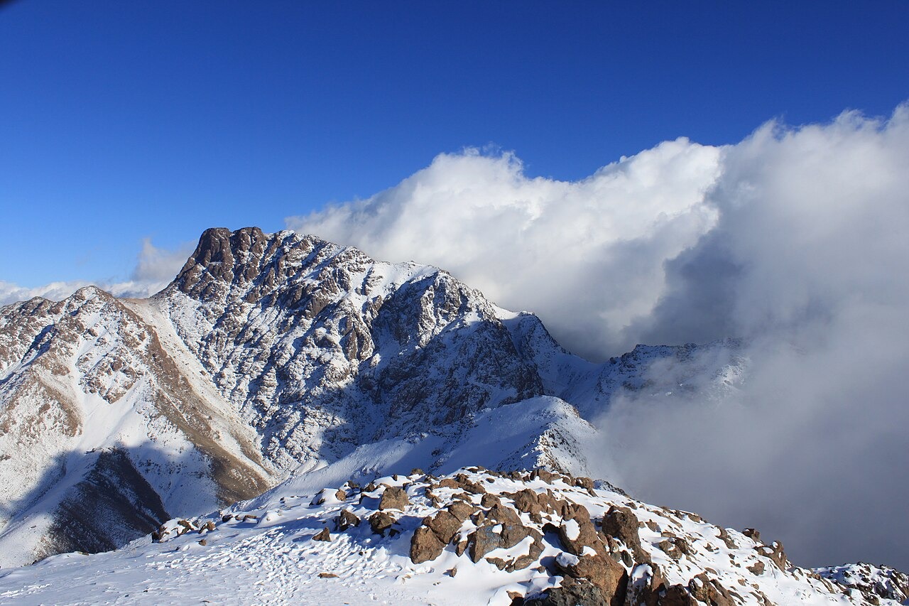
Paleozoic Basement and Triassic Basin Contact
Field geology documented in Complutum (2014) records the Oukaïmeden Depression as a structurally complex zone where folded and faulted Paleozoic basement meets a Triassic clastic sedimentary cover. Regional compressional tectonics produced a series of folds and thrust faults that bring older metamorphic and igneous basement into contact with younger Triassic red-bed sequences along the basin margins, with Angour's mass representing a prominent exposure of that older basement block.
Sandstone Weathering and Engraving Surface Alteration on Triassic Outcrops
The Triassic sandstone surfaces within the adjoining depression carry rock engravings whose physical condition has been studied through field research coordinated with the British Museum African Rock Art Image Project. Documented alteration mechanisms include granular disaggregation, case hardening, and differential surface recession driven by moisture cycling and salt crystallisation within porous sandstone. These processes progressively modify engraving relief and complicate the reading of incised lines over archaeological timescales.
Agdal Pastoral Tenure at the Basin Margins
IRD ethnoarchaeological fieldwork recorded seasonal agdal pasture systems operating at the foot of the enclosing ridges, with a documented 2005 case identifying 28 home villages organised into two user groups. The agdal regulates grazing access across the broader basin floor, connecting the pastoral economy of the surrounding communities to the high-altitude terrain that Angour bounds to the south.