
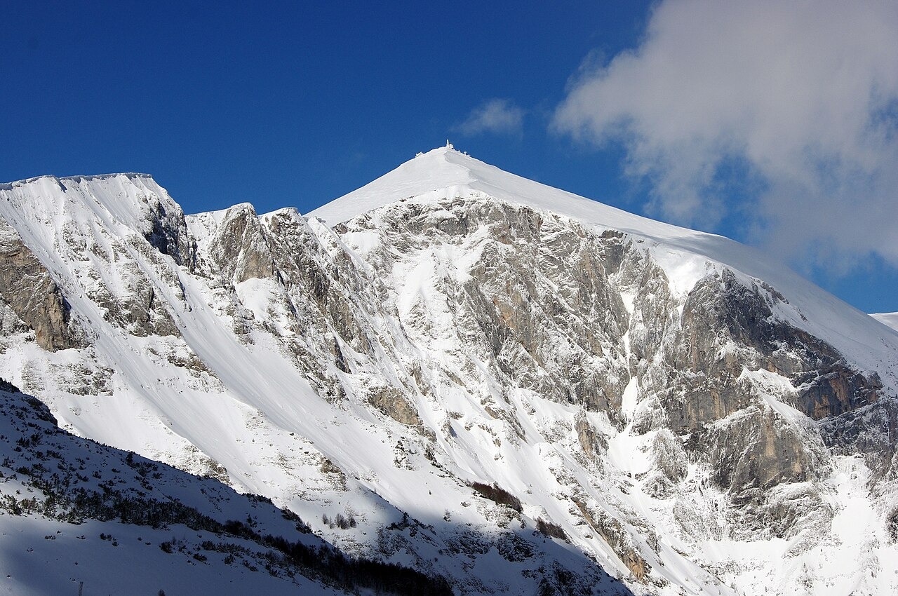
Summit and Glacial Landforms
Solunska Glava is the highest point of the Jakupica massif, documented at 2,540 metres by North Macedonian national educational sources and the Mountaineering Association. The upper terrain includes high-elevation glacial cirques that are documented survivals from Pleistocene glaciation, in the upper massif.
Geology and Golubarnica Cave
The North Macedonia Ministry of Environment geomorphological inventory records gneiss and crystalline schists on the eastern side of Jakupica, while the central and western portions are composed largely of thick Precambrian marbles. The marble terrain supports extensive karst features including fissures and sinkholes across the high slopes. On the western slope near Belica, Golubarnica Cave contains speleothem formations that researchers have used to reconstruct palaeoclimate conditions, drawing on the cave record as evidence for medieval climate patterns in the region.
Trail-Marking and Community Mountaineering
The Cheples mountaineering association, with support from the Civica Mobilitas civic programme, carried out trail-marking work on Jakupica and Solunska Glava in 2018. The programme's name incorporated a reference to mountain support and rescue, reflecting the wayfinding and safety context of the initiative. On 20 July 2019, an anniversary gathering was held on the mountain involving local mountaineers, documented by Civica Mobilitas as part of the programme's record.