
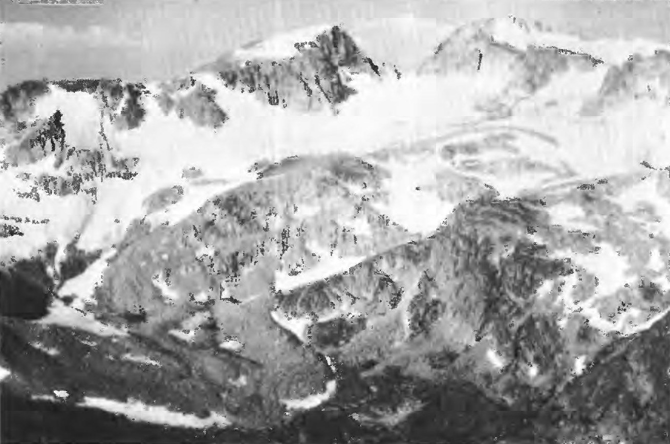
Glacial Setting and Landform
A 1971 USGS bulletin photograph shows Jackson Peak at left-center with Fremont Peak to its right and a terminal moraine of the Bull Lake Glaciers occupying the foreground—loose rock accumulated at the glacier's front edge. The report interprets Jackson Peak's smoother upper shoulder as a remnant of an older eroded surface that may have been lifted to its present elevation, a reading the original authors qualified as interpretive rather than certain.
Name and Namesake
GNIS records a geographic name decision for Jackson Peak in 1949. Specialist sources, including the American Alpine Journal, identify the namesake as William Henry Jackson, the photographer who worked with Ferdinand Hayden's survey in the region. The AAJ documents Jackson participating in the 1878 Hayden survey and reaching nearby Fremont Peak that year; no source claims he ascended the peak that bears his name.
Survey Context
The Hayden Survey's photographic collection, held at the U.S. National Archives, documents the visual record Jackson produced across the Wind River Range during the 1878 campaign. The 1968 USGS topographic map of the Fremont Peak South quadrangle and the 1971 mineral-resource bulletin together define the peak's position relative to the surrounding glaciers and ridgelines.