
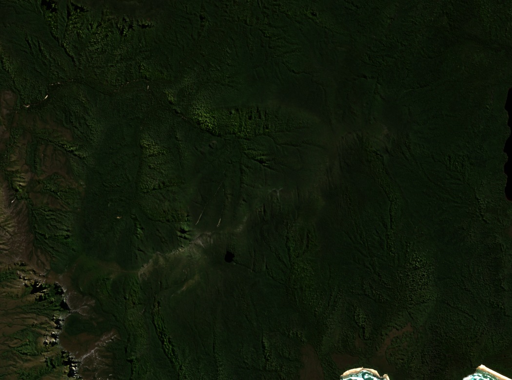
Rock, ice, and vegetation
The state land systems survey identifies the range's bedrock as Precambrian sandstone and conglomerate. On the high southeastern slope, a small lake formed when a local ice cap covered the range in the Pleistocene.
Traces of a glaciated upland
On the crest, low heath and cushion plants grow where the terrain is exposed. In sheltered places below, the state survey records taller forests, including stands of myrtle beech.
Layered history of coastal travel
State historical records document Tasmanian Aboriginal use of routes along the broader south coast, with accounts reaching back to 1830. European-era track work proceeded in sections, with Milford Fletcher cutting the latest iteration of the South Coast Track in 1966. Tasmania’s Parks and Wildlife Service records work on different sections in 1915, 1930 and 1946, before Fletcher cut the later route.