
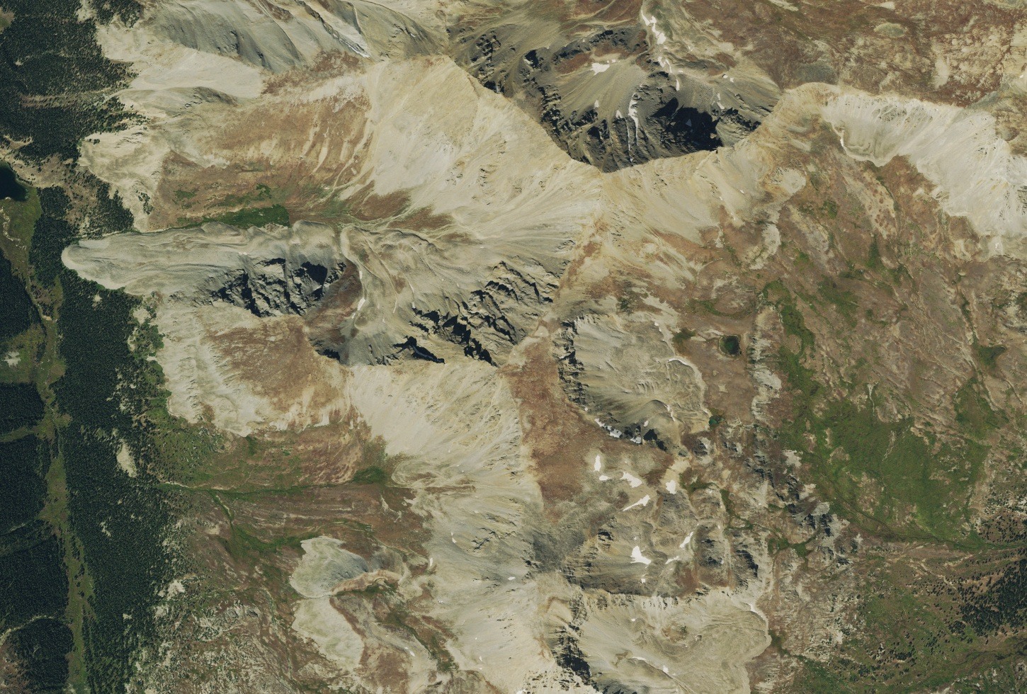
Ridge and Drainage
The 1982 USGS Winfield quadrangle places Iowa Peak precisely on the divide separating Clohesy Lake to the west from the upper Pine Creek drainage to the east. The surrounding terrain reflects the ancient metamorphic and intrusive basement rocks that underlie the Sawatch Range flanks, documented in regional USGS geologic mapping.
Glacial Legacy
Tributary glaciers carved the Clear Creek drainage during the late Pleistocene. At the mouth of Clear Creek where it meets the Arkansas River, at least two ice-dam failures occurred roughly 18,000 to 19,000 years ago, releasing floods downstream and depositing large boulders across the valley floor—evidence documented in USGS studies of the upper Arkansas River region.
Winfield and the Mining Era
The nearby Clear Creek valley holds the Winfield mining camp, listed on the National Register of Historic Places. Active in the 1880s, Winfield supported a post office, a schoolroom, and milling operations serving the surrounding valley.