
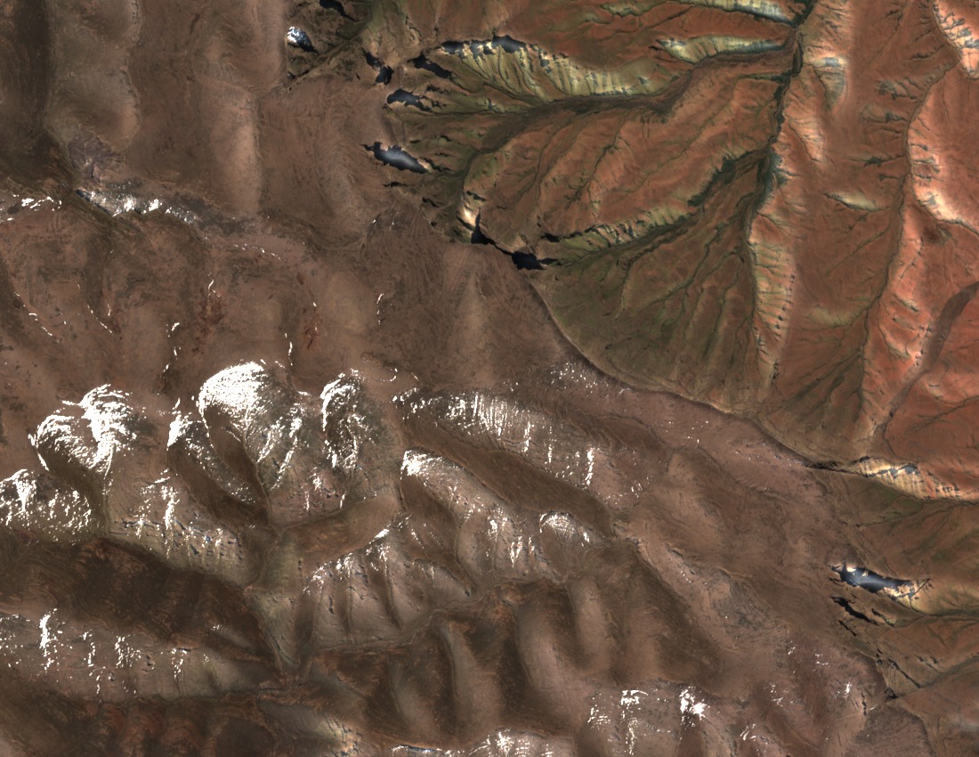
Basalt Scarp Above a Sedimentary Foundation
University of Pretoria geomorphological research on the broader Injisuthi Valley documented the high escarpment's volcanic basalt cap overlying older sedimentary strata below. This readable layering, visible across the valley walls, reflects the Drakensberg's formation as Jurassic-era Lesotho Formation basalts were deposited over Triassic Elliot and Clarens sandstones, producing the banded cliffs characteristic of the range.
Battle Cave and the San Cultural Landscape
The Injisuthi Valley holds Battle Cave, one of the more extensively documented San rock art sites in the Drakensberg. The UNESCO nomination dossier records the Injisuthi sector as part of the protected cultural landscape, recognising the valley's painted shelters alongside the escarpment's natural attributes within the single inscribed property.
Summit Identity and Heritage Designation
The summit is recorded at 3,410 m in both the UNESCO nomination map and the Drakensberg Hikes peak directory, with Njesuthi listed as an alternate spelling by GeoNames. The nomination inventory treats Injisuthi camp and the Dome as distinct reference points, and the peak's position on the international watershed places it at the boundary of South Africa and Lesotho.