
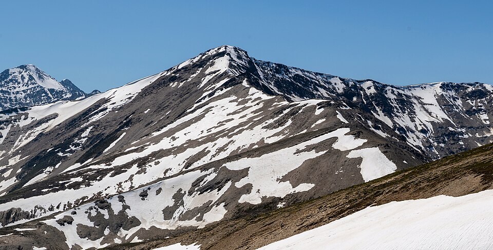
Ridge Form and Glacial Cirque
The Geological Survey of Canada's 1963 regional guide interprets the steep wall between two of the ridge's high points as the headwall of a glacial cirque. This bowl-shaped hollow was excavated by glacier ice pressing against the rock face over time, and its concave geometry remains visible in the upper profile of the ridge.
Naming History
The Canadian Rockies mountain database attributes the name to Dominion Land Surveyor Morrison Bridgland, who mapped the area in 1916. The 1928 Dominion Parks Branch guide stated that the origin of the name was unknown at the time of publication.
The Canadian Geographical Names Database issued its official decision in 1951, a formal registration separate from Bridgland's earlier survey use.
The Ridge from The Whistlers
Indian Ridge occupies a separate crest from The Whistlers, rising as a distinct landform when seen from across the valley. Photographs taken from The Whistlers show residual snowbanks settled in hollows along the upper crest, and the apparent height and shape of the ridge change substantially depending on the angle of view.