
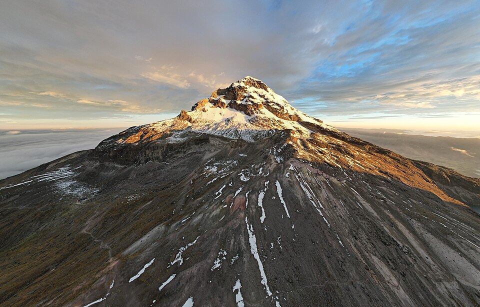
A summit built in stages
K-Ar dating of massive lavas from the basal cone places its formation at around 45,000 years ago. Following that effusive phase, the Jatuncama eruption destroyed the upper part of the edifice and left an ignimbrite sequence between 30 and 40 metres thick, evidence of the hot pyroclastic currents that reshaped the relief.
Lava domes and glaciers at the summit
Around 35,000 years ago, the extrusion of dacitic lava domes rebuilt the summit over the remnants of the earlier collapse. These viscous accumulations formed the topography of the upper section. Alpine Journal chronicles from the 1930s describe glacial walls and snow cornices over that structure, a later phase in the history of the massif.
The first documented ascent
In May 1880, Jean-Antoine Carrel and Louis Carrel reached the summit of Iliniza Sur, an ascent recorded in the alpine sources of the time. Edward Whymper attempted to climb the mountain without reaching the summit. The first ascent of Iliniza Norte, the separate summit of the complex, took place in 1912.