
Volcanic origin and structure of the edifice
A radiometric study using K-Ar dating published in 2022 distinguishes two successive lava-flow sequences and an associated satellite vent on Iliniza Norte. The predominantly effusive phases are placed at approximately 123,000 to 116,000 years before present, situating the construction of the edifice in the Middle Pleistocene.
Rocky morphology and historical conditions
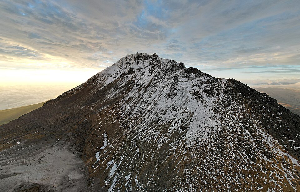
The Alpine Journal chronicle, based on observations from the 1930s, describes the northern summit as a rocky structure with pronounced ridges and seasonal snow, without a permanent glacier. The relief of the edifice is defined by its rock walls and ridges.
First documented ascent and ecological reserve
In 1912, Nicolás G. Martínez led a documented ascent of Iliniza Norte by the ridge connecting the two summits from the intermediate col. Andeshandbook also identifies Franz Hiti and Alejandro Villavicencio among the members of the party. In 1996, the Los Ilinizas Ecological Reserve was established, a unit that encompasses both volcanic edifices within the national protected-area system.