
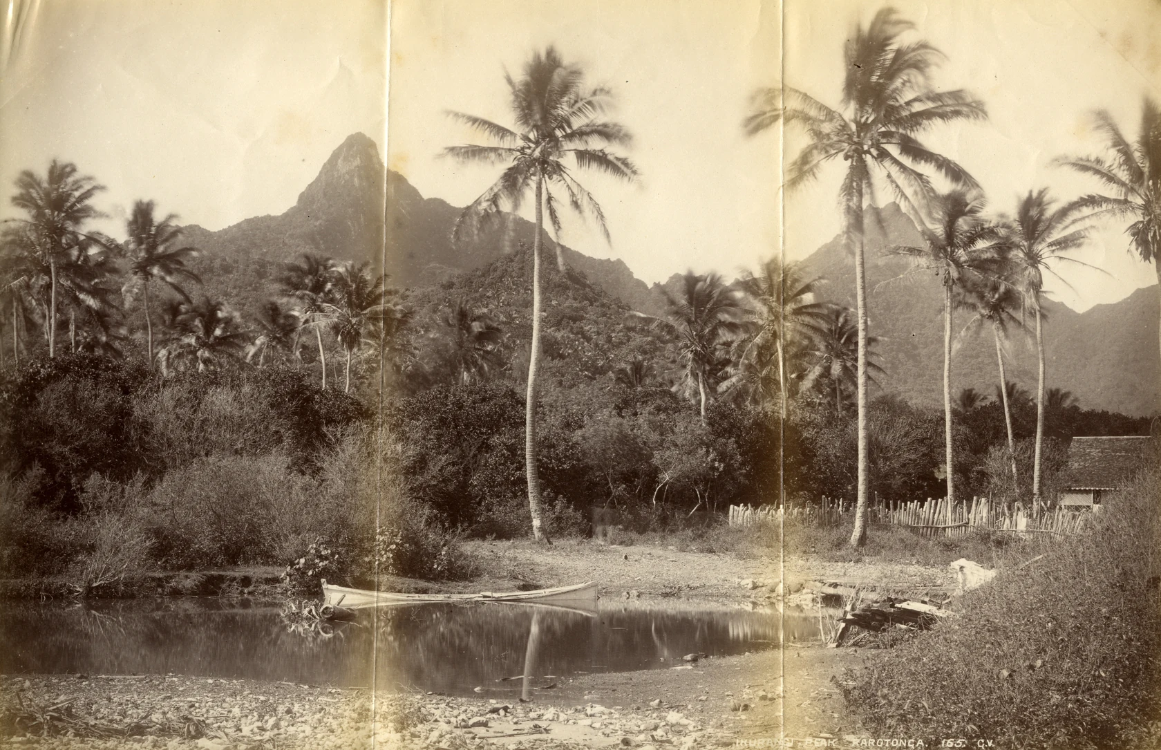
A Pointed Skyline, Photographed 1887
Archives New Zealand holds the print as PC4 Box 2/87/45. Valentine submitted it to the Patent and Copyright Office. It was stored folded in an envelope, and the creases are still visible in the archive’s scan.
ʻIkurangi overlooks Avarua, on the northern side of Rarotonga.
Volcanic Foundations and Ridge Terrain
Geological mapping by Thomson and Smith identified lava flows and deposits from explosive eruptions on Rarotonga. Joanna Rose and Anthony Koppers dated volcanic samples from the island to about 1.70–1.52 and 1.30–1.16 million years ago. The valleys and steep ridges were carved into this volcanic terrain.
A 2015 field survey by the Cook Islands National Environment Service documented the Te Manga–ʻIkurangi ridge in detail. At elevations between 400 and 500 metres, the survey team recorded steep-sided pinnacles near the lower edge of the cloud forest zone, wind-shaped trees reaching around three metres in height, and kiekie in the undergrowth.
A Name Carried Across Polynesia
Rāwiri Taonui traces a pair of place names across Polynesia. On Rarotonga, ʻIkurangi stands above Avarua and Arorangi lies on the other side of the island. Taonui links the names to Hiʻuraʻi and Aoraʻi on Tahiti and to names including Hikurangi and Aorangi in Aotearoa New Zealand. In his account, ocean voyaging carried the names between islands.