
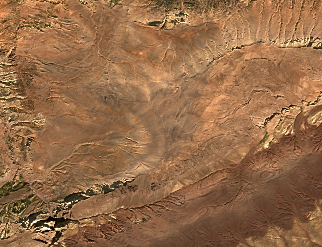
Above the Aït Bougumez valley
The crest separates Aït Bougumez to the north from the M’Goun side to the south. The geopark describes Igoudamene, Ouaougoulzat and Azourki as part of the mountain amphitheatre around the valley. A map of the March 1989 Basque expedition, published in 1990, marks Igoudamene at 3,519 m. A photograph from the 2014 botanical survey gives the same elevation.
Folded limestone and karst
Mostapha Azatour’s field study describes the Igoudamen–Waougoulzat anticline, a broad arch in the rock layers stretching about 50 km and roughly 10 km across. On Igoudamene, widened fractures cut corridors through thick dolomitic limestone from the Early Jurassic. Toward the east, nearly level beds form a karst plateau, where water dissolves the rock along its fractures.
Springs and a stony summit
An account published by a French caving committee in 1984–85 records Aghbalou n Asbquigh, a spring on the north flank. The surveyors could identify where several springs emerged and left their underground sources open for future investigation. They suggested that a former glacier had helped shape the stony summit.
Seasonal paths across the ridge
The French hiking federation describes paths across the ridge used for seasonal movements of livestock. Jean-Claude Latombe’s photographs from a 2010 traverse document a pastoral camp below Igoudamene. On the valley side, the geopark’s records trace how sediment gradually filled a lake impounded by a landslide, leaving the flat alluvial floor where villages and fields now occupy the valley.