
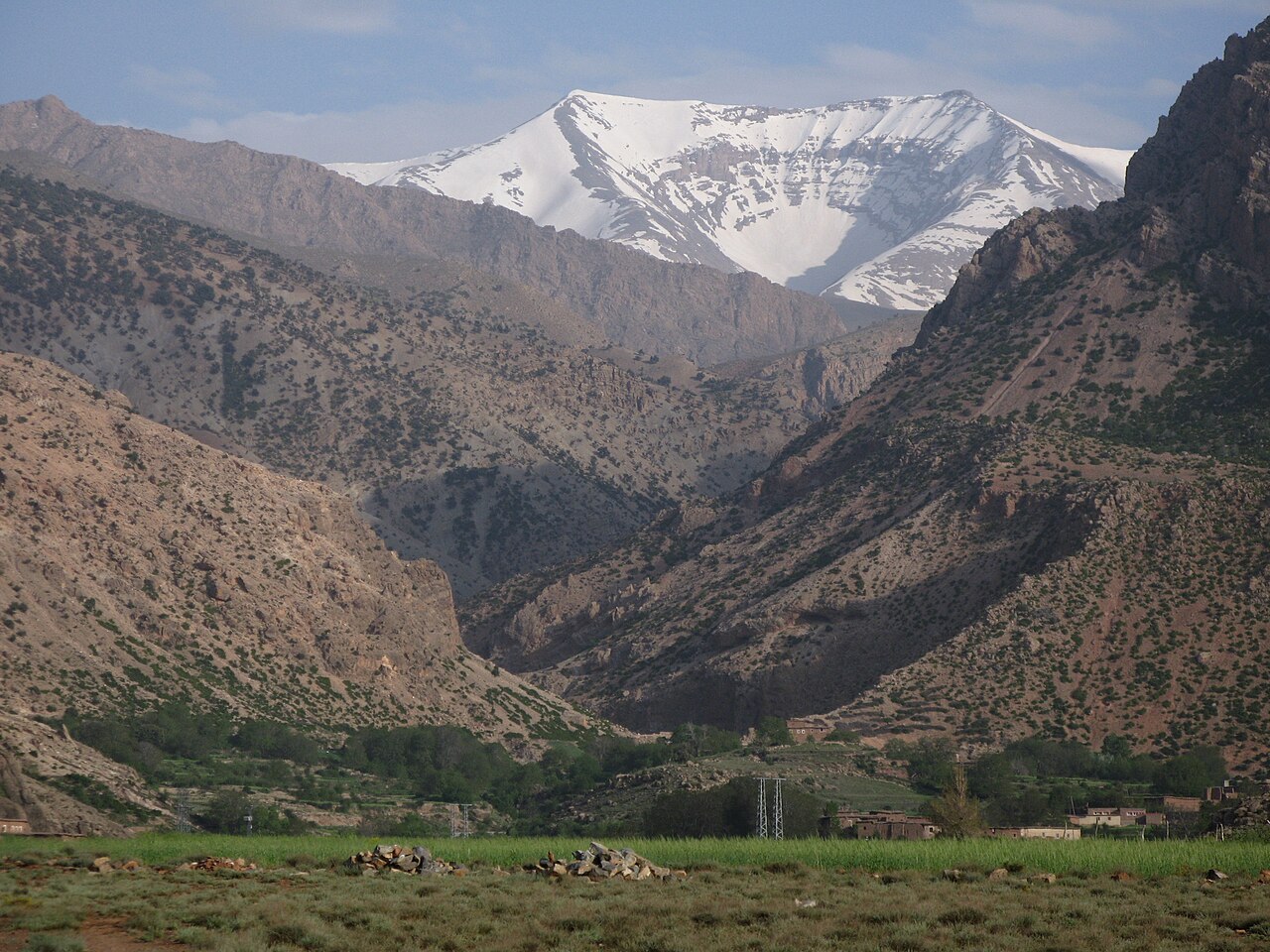
Jurassic Seabed Exposed in the M'Goun Range
Field-based mapping published in Geosciences documents Triassic and Jurassic marine sediments within the M'Goun Geopark region, including Jurassic limestone formations that record an ancient shallow sea. Palaeogeographic reconstruction from this survey work clarifies how tectonic compression subsequently folded and elevated these marine strata to form the central High Atlas ridgeline on which M'Goun stands.
Dinosaur Track Sites and the M'Goun UNESCO Global Geopark
The M'Goun UNESCO Global Geopark inventory identifies dinosaur track localities among its registered geosites, alongside geological outcrops distributed across the broader mountain region. These trackways represent a distinct category of geoheritage within the geopark's documented inventory and are geographically separate from the summit massif itself.
Agdals and the Sidi Moussa Communal Granary
The geopark inventory also records examples of inherited Berber land-management architecture in the surrounding valleys, including the Sidi Moussa communal granary and agdal systems — collectively managed seasonal pasture enclosures that have regulated grazing pressure and resource access in High Atlas communities across generations.