
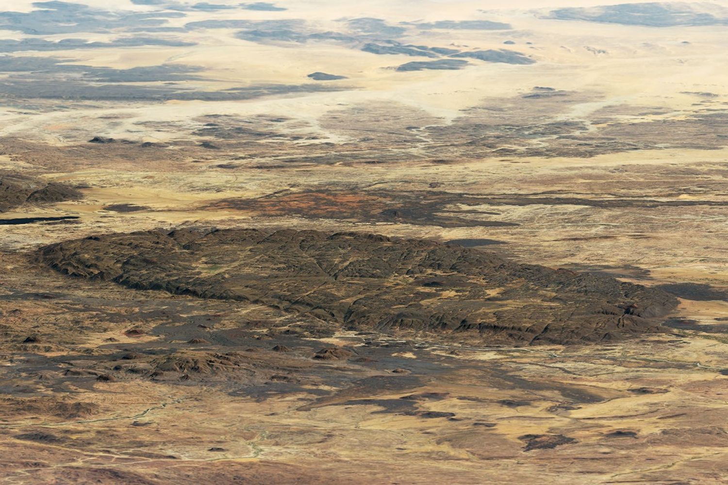
A Volcanic Cone Above the Bagzane Plateau
The summit cone rises from the Bagzane Plateau, a volcanic massif whose dark lava flows and crater features are visible in NASA Landsat satellite observations. IRD researchers describe the rock as volcanic in character, shaped by igneous processes that produced the layered terrain distinguishing the plateau from the broader Aïr mountain system to the south and west.
Stream Valleys and Irrigated Agriculture on the Plateau
IRD field documentation records a cultivated landscape across the Bagzane Plateau, where stream valleys support settlements and small irrigated areas. The volcanic massif channels rainfall into these valley corridors, sustaining agricultural activity at elevation. This interaction between topography and water movement gives the plateau a productive character distinct from the summit cone itself.
Research and Regional Significance in the Aïr
The Aïr Mountains have been the subject of vegetation field studies published in VertigO and landscape surveys by IRD, while the UN Environment Programme's Africa Mountains Atlas places the Bagzane Plateau within the broader Aïr and Ténéré region. Together these institutional records establish Idoukal-n-Taghès as a focal point for understanding highland ecology and land use in the central Sahara.