
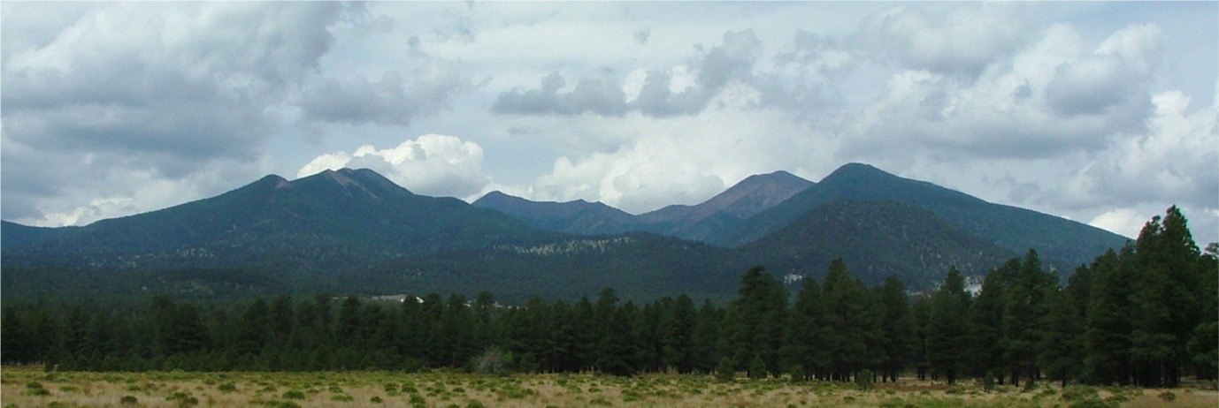
Volcanic Massif and the Inner Basin
The USGS describes the San Francisco Peaks as a volcanic mountain complex that grew within a broader volcanic field. The massif's northeastern flank opens into the Inner Basin, a feature enclosed between the high summit ridges. The USGS attributes changes in the mountain's form to erosional and volcanic processes that have reshaped it over time, without pointing to any single cause for the basin's present character.
Naming History and Cartographic Record
The GNIS records that Humphreys Peak was named around 1870 for Andrew A. Humphreys, an engineer. A 1903 map applied the name San Francisco Peak to the area, and the national naming authority clarified the distinction between that usage and the individual summit name in 1933. These decisions reflect the administrative and cartographic history of the massif. The Indigenous associations of the San Francisco Peaks are distinct from and do not depend on that federal nomenclature.
The Massif as a Geographic Landmark
Humphreys Peak marks the highest measured point on the San Francisco Peaks massif. The USGS notes that the broader San Francisco volcanic field surrounds the complex, placing the peaks within a wider volcanic landscape. The GNIS documents summit naming and geography, while the USGS addresses the volcanic geology of the range.