
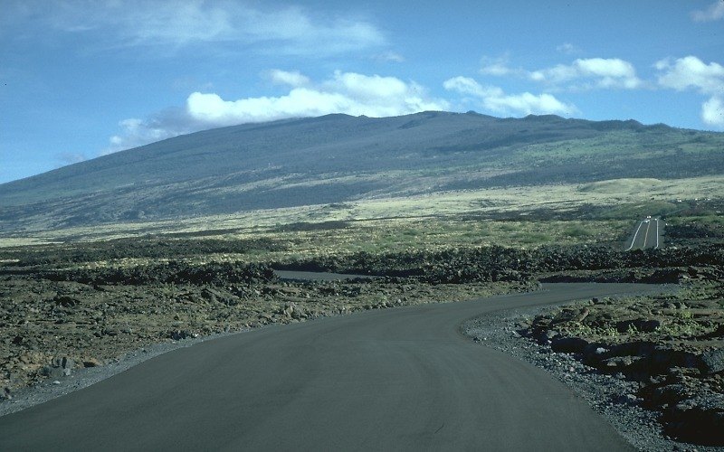
The 1800–1801 Eruption
The 1800–1801 eruption was the last known eruption of Hualālai. The flows it produced remain among the youngest on the volcano's surface and are documented in USGS mapping as a reference point for understanding its recent eruptive history.
The 1929 Earthquake Swarm
In 1929, Hualālai experienced an intense swarm of earthquakes that USGS attributes to probable subsurface magma intrusion. Two large earthquakes within the swarm damaged homes and infrastructure. These seismic events are separate from the 1800–1801 eruption and occurred in the absence of any surface eruption.
Lava Textures at Kaloko-Honokōhau
On Hualālai's west flank, within Kaloko-Honokōhau National Historical Park, NPS documents older lava flows with distinct surface textures. Relatively smooth, rope-textured pāhoehoe appears in areas partly covered by rough ʻaʻā. These flows predate the 1800–1801 eruption and reflect an earlier phase of the volcano's eruptive history.