
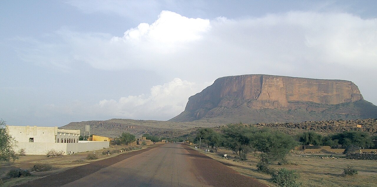
Stratified Sandstone Walls of the North Face
A 2006 report in the American Alpine Journal documents a climbing team establishing a new route on the north face of Hombori Tondo, a wall rising approximately 400 metres. The account describes the face's compact sandstone and the exposed horizontal banding visible across its full height, features consistent with the mesa's broader sedimentary structure recorded in earlier Alpine Journal observations of the Hombori sandstone formations.
Mesa Form and Geological Layering
Photographic field studies of the sandstone mesas around Hombori document the characteristic stepped profile of Hombori Tondo, where resistant caprock preserves the flat upper surface while softer underlying strata erode into tiered ledges and vertical walls. These visible layers reflect the mesa's formation within the West African sedimentary basin and give the structure its distinctive silhouette above the plains.
Stone Bangle Craft of the Hombori Villages
Field research published in Internet Archaeology recorded active workshops in the Hombori area where craftspeople produce stone bangles, documenting the makers, their tools, and the material culture associated with the practice. Interviews and observation captured workshop organisation and the circulation of finished pieces, providing a detailed record of a living lapidary tradition rooted in the wider Hombori region.