
The Named Ridge and Its High Point
The United States Geological Survey Geographic Names Information System records Holy Cross Ridge as a named landform in the northern Sawatch Range, within the drainage basins of the Eagle and Fryingpan rivers. The registry anchor sits near the main Mount of the Holy Cross, a higher summit at approximately 4,270 m located about 1 km to the north. The local high point addressed here lies on the southern portion of the ridge spine and appears in climbing records and the Denver Public Library place-name index. That index assigns a historic value of 13,831 ft to this southern peak. Contemporary LiDAR measurement places it at approximately 4,221 m (13,847.6 ft).
Glacial Basins and Ice Features
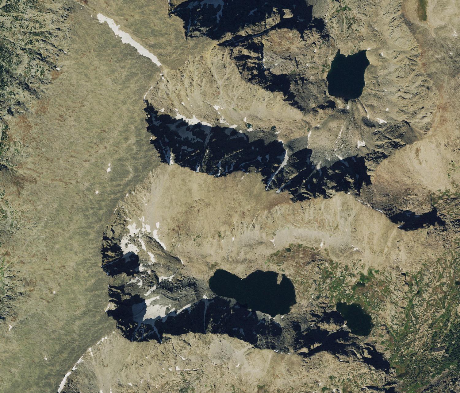
Upper Tuhare Lake and several steep-walled cirque basins occupy the eastern flank of the ridge, shaped by glacial erosion of the high headwalls. A Portland State University glaciological study compared 1968 topographic map outlines with a U.S. Geological Survey aerial photograph from October 12, 1999. The study recorded 19 small ice or snow features across the Holy Cross Wilderness. Most of these features shrank over that period, and the largest feature near this section of the ridge appeared approximately stable between the two study dates.
Ground photographs of some lake water showed pale or greenish tints that researchers tentatively attributed to finely ground rock particles, sometimes called glacial flour, suspended in the water column.
The Halo Ridge Traverse and Notch Mountain
A high traverse known as Halo Ridge curves around the Bowl of Tears basin and takes in terrain on both Holy Cross Ridge and the adjacent Notch Mountain. The route provides direct sightlines to the northeast face of the main Mount of the Holy Cross, where seasonal snow settling into intersecting rock channels produces a cross pattern. That feature, supported by the National Park Service nomination, gave the broader area its name. Colorado Mountain Club records describe the ascent of Holy Cross Ridge and views of the cross from this terrain.
The Forest Service commissioned a stone shelter built by the Civilian Conservation Corps on Notch Mountain in 1933 and 1934 for visitors arriving to view the cross. National Register records report that more than 3,000 pilgrims made the journey in 1934.
Monument, Abolition, and Wilderness Designation
President Herbert Hoover's 1929 proclamation established the Holy Cross National Monument, encompassing approximately 1,392 acres around the main Mount of the Holy Cross and Notch Mountain. Congress abolished the monument in 1950. Public Law 96-560, enacted in December 1980, designated the broader Holy Cross Wilderness, the framework under which the Holy Cross Ridge high point now falls.