
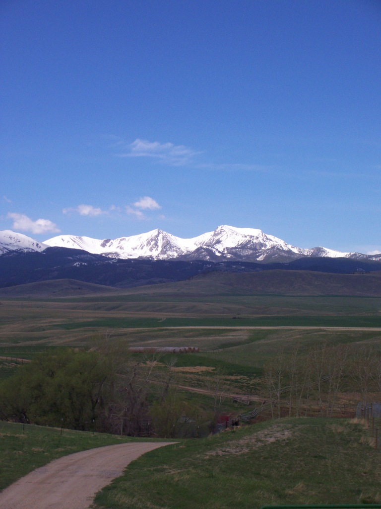
A Name Settled by Decision
The U.S. Board on Geographic Names formalized the designation Hollowtop Mountain on 1 January 1980. The historical variant Hollow Top Mountain appears in that record, and GNIS lists Mount Jefferson as an old naming variant for the same summit. USGS geologist Alexander Newton Winchell, writing in Bulletin 574 in 1914, recorded Jefferson Peak and Old Hollowtop as names for the highest peak, situated roughly four miles south-southeast of Mammoth. A distinct summit bearing the official name Mount Jefferson lies immediately south of Hollowtop today.
The Montana State Library's ranked list places the neighboring summit now officially named Mount Jefferson at 10,513 feet (approximately 3,204 m).
Cirques, Valleys, and Rock-Glacier Deposits
Glacial erosion carved the cirque basins on Hollowtop's upper flanks. The Montana Bureau of Mines and Geology identifies the North Willow Creek and Cataract Creek valley systems as originating in cirques just east of the Tobacco Root crest, approximately ten kilometers southwest of Pony. A cirque is an erosional basin hollowed by former ice accumulation at a valley head.
Andrew R. Gustin's 2013 Indiana University field thesis sampled two rock-glacier deposits on Hollowtop's slopes. Rock glaciers are bodies of angular rock debris that often contain interstitial ice. The larger deposit occupies a northwest-facing cirque on the west side of the mountain. Sampled in summer 2009, it measured approximately 0.20 square kilometers, with a tongue running north through a narrow valley before bending approximately ninety degrees westward. The valley walls supply talus to the upper portion of the deposit. The smaller east-side deposit, sampled in summer 2010, occupies a wide north-facing cirque with a steep outer front and covers approximately 0.053 square kilometers. Alan M. Jacobs documented that deposit as a rock glacier in 1967. Gustin's 2013 study compared 2010 imagery with Jacobs's 1967 photograph and inferred possible movement from the visual differences, including apparent shifts in boulder positions and changes in the shape of the front. A rate was not measured in this investigation.
Pony and the Mining District Below the Crest
The town of Pony, situated east of the Tobacco Root crest, is the principal settlement associated with the mineralized terrain beneath Hollowtop. Founded in 1876 near the Mineral Hill mining district, it held approximately 300 residents by spring 1877. Stamp mills crushed ore for processing. The Morris-Elling stamp mill dates to 1883 and the Strawberry mill to 1900. The Pony Historic District was listed on the National Register of Historic Places on 3 August 1987, with an inventory that includes a stone-and-brick school constructed in 1902 and a town bank, representing the range of building types that survived from the peak period of activity.
Winchell's 1914 bulletin describes fissure-vein gold deposits in gneissic rock around the Mammoth area and notes two mines of the Pony district operating near a contact with quartz monzonite, situating the mineralization within the broader structural fabric of the Tobacco Root range.