
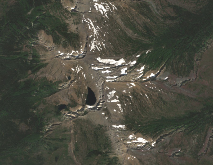
Summit and Setting
The Montana State Library's range-by-range tabulation places Holland Peak at the top of the Swan Range. Its position, confirmed by the USGS Geographic Names Information System, is distinct from Holland Lake on the valley floor below — a separate landform sharing a name but not a slope. The peak's west face looks down into the Rumble Creek basin, where an upper and lower lake occupy the glacially carved terrain.
West Face and Rumble Creek Basin
University of Montana geographers describe the west face of Holland Peak and the waterfalls fed by the upper and lower Rumble Creek lakes. The lakes sit directly below the summit's steepest aspect, and the drainage they supply gives the face its visual character in summer conditions. Snow patches visible on high-elevation slopes in satellite imagery of the basin are not identified as glaciers in the reporting.
Northern Rock Crawler
The Montana Natural Heritage Program holds field observations of the northern rock crawler — a wingless, cold-adapted insect — recorded from the Holland Peak summit area. The species typically shelters beneath stones and frequents high-elevation snowfields. Those records represent historical observations and do not indicate current population levels at the site.