
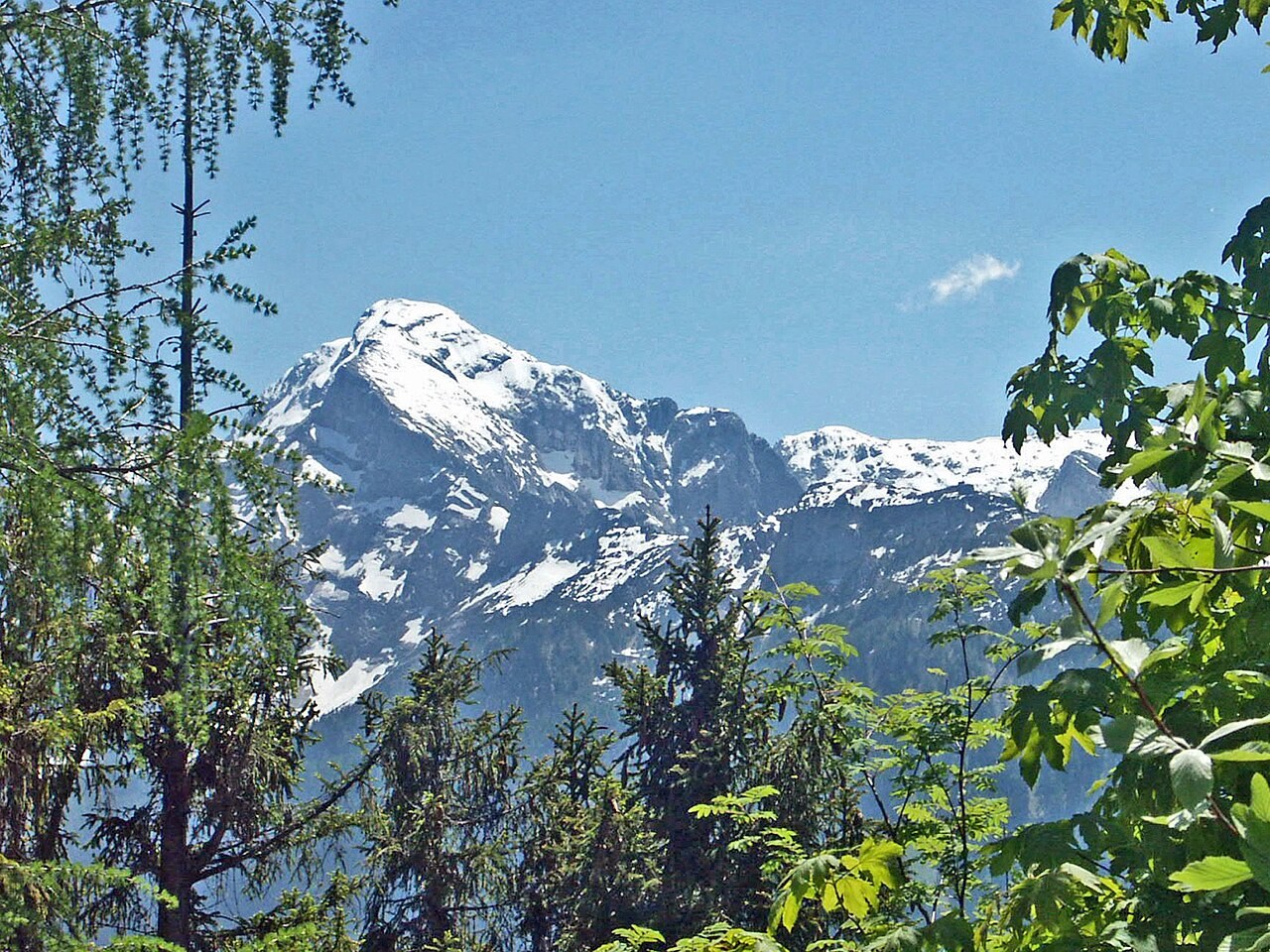
A ridge cut by deep valleys
Researchers describe the massif as roughly 11 kilometres long and three kilometres across, with deeply incised valleys around it. Its south flank exposes Dachstein limestone.
Inside the mountain
Researchers have also examined fine sediment found in the caves of the Göll massif. Material laid down inside the cavities preserves clues to processes that are difficult to read on the exposed rock faces.
A refuge on the Eckerfirst
The Sonneberg section began building a hut on the northern spur in 1899 and inaugurated it on 2 July 1900. Named for the mountaineer Ludwig Purtscheller, the hut was cared for by Alpine Club sections from both sides of the frontier after the Second World War.