
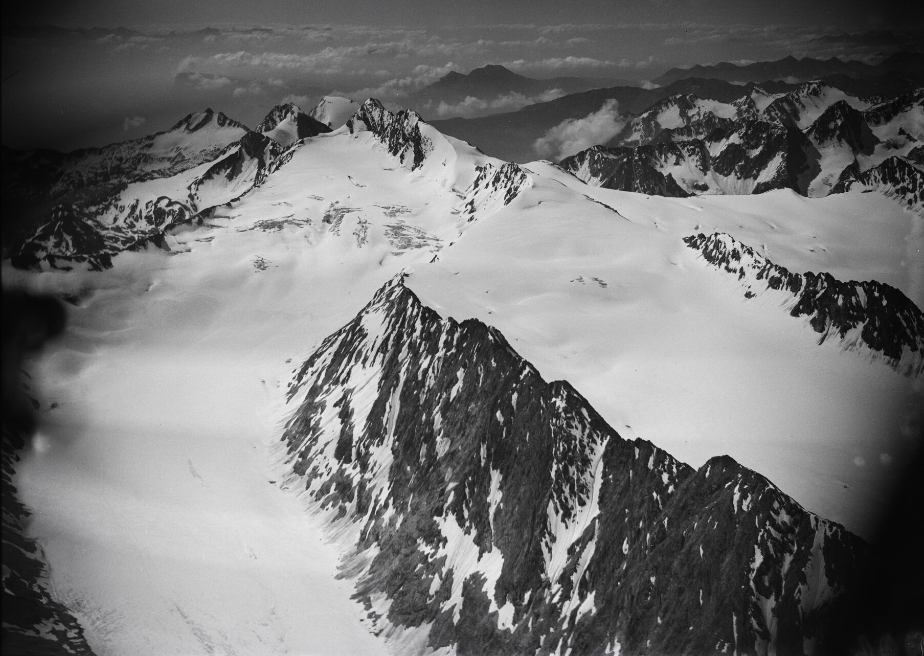
Rock and ice in a 1933 photograph
The Texelgruppe Nature Park geological guide places Hochwilde in the Schneeberg (Monteneve) Unit, where mica schist is common. Walter Mittelholzer’s aerial photograph of 25 July 1933 shows the mountain and the Langtaler and Gurgler glaciers. Snow and ice fill the broad hollows between rock ridges. ETH Library preserves the image under the reference LBS MH01-007292.
Two huts on opposite sides of the border
The Stettiner Hütte, known in Italian as Rifugio Petrarca, opened on 24 August 1897 on the South Tyrolean side. Haus Stettin Museum preserves the account of its opening and early drawings. An avalanche destroyed the hut in 2014, and a replacement opened in 2022. On the Austrian side, the Hochwildehaus closed in 2016 after the building showed signs of shifting.
Investigating shifting slopes
Geophysicist Michael Krautblatter reported that measurements found no permafrost directly beneath the Hochwildehaus. An earlier survey by the PermaNET Alpine Space project documented a separate event near the summit. A rockfall on the east face on 30 July 2008 affected about 50 m of trail.