
Landform and Current Extent
The 2023 Austrian Glacier Inventory, compiled from Tyrolean orthophotography acquired on 19 August 2023, maps three fragments with a combined area of approximately 3.74 square kilometres across elevations between 2,878 and 3,428 metres. The glacier's historic branches reached the watershed near Grawand and Fineilspitze, and the main body once extended northward from high cirque headwalls into the Rofental. Mid-nineteenth-century surveys attributed an area of approximately 12.55 square kilometres to the glacier, with an 1847 length estimate of about 5.6 kilometres recorded in Franz Mandl's summary of earlier observations, and glacier definitions and measurement methods differed between those surveys and modern mapping.
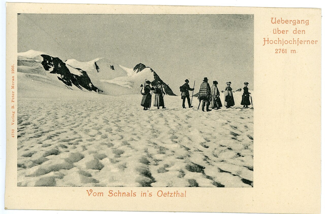
The Schnalstal Sheep Crossing
For generations before modern national borders formalised the watershed, local herders drove sheep annually between the Schnalstal (Val Senales) on the southern side and summer pastures in Tyrol to the north, moving uphill in spring and returning in autumn, using the glacier surface as part of that route. European Geosciences Union researchers have documented this crossing tradition and noted that summer grazing on the northern pastures continues after the ice withdrew from the crossing route, citing it as an illustration of how glacial retreat reshapes land use and local geography over generational timescales.
Research on Snow and Ice Boundaries
A 2017 study at Hochjochferner used terrestrial laser scanning to map the snowline, the boundary between snow cover and exposed glacier ice, and compared the results with Landsat satellite estimates of the same boundary. The laser scanning produced grid cells at one-metre resolution, while Landsat imagery operates at thirty-metre resolution, and the work examined how the two approaches characterise surface-type changes across the retreating glacier.