
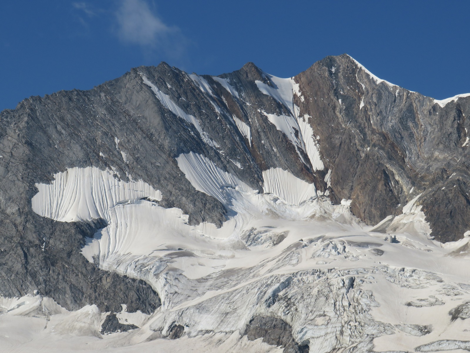
Summit and national border
The Hochfeiler, known in Italian as Gran Pilastro, stands at 3,509 m according to the Austrian Alpine Club and is the highest summit in the Zillertal Alps. The South Tyrol tourism source gives 3,510 m. The summit lies on the main ridge, which forms the national border between the Austrian state of Tyrol and the Italian province of South Tyrol.
The first ascent
On 24 July 1865, Paul Grohmann, together with Zillertal mountain guide Georg Samer, known as Josele, and Peter Fuchs, a local mineral dealer from St. Jakob in Pfitsch, made the first ascent. The party spent the night at the Sennhütte im Glied in the upper Pfitsch valley and pushed into the terrain the following morning above the Gliederbach. Easy rock sections and gentle snowfields led to a sharp ridge that arched upward toward the snow-covered summit. Grohmann estimated the elevation at 3,533 m with his barometer.
Schlegeiskees and north face
Below the summit, the Schlegeiskees glacier extends northward. Images from July 2021 show exposed rock ribs and bands of snow and ice on the steep north face. In 1887, Franz Dyck and local mountain guide Hans Hörhager ascended from the Schlegeiskees through the northeast-facing ice wall known in mountaineering as the north face. Grohmann and his companions had taken a different route in 1865. The Austrian Alpine Club documents changes in the length of the Schlegeiskees as part of its glacier monitoring program.