
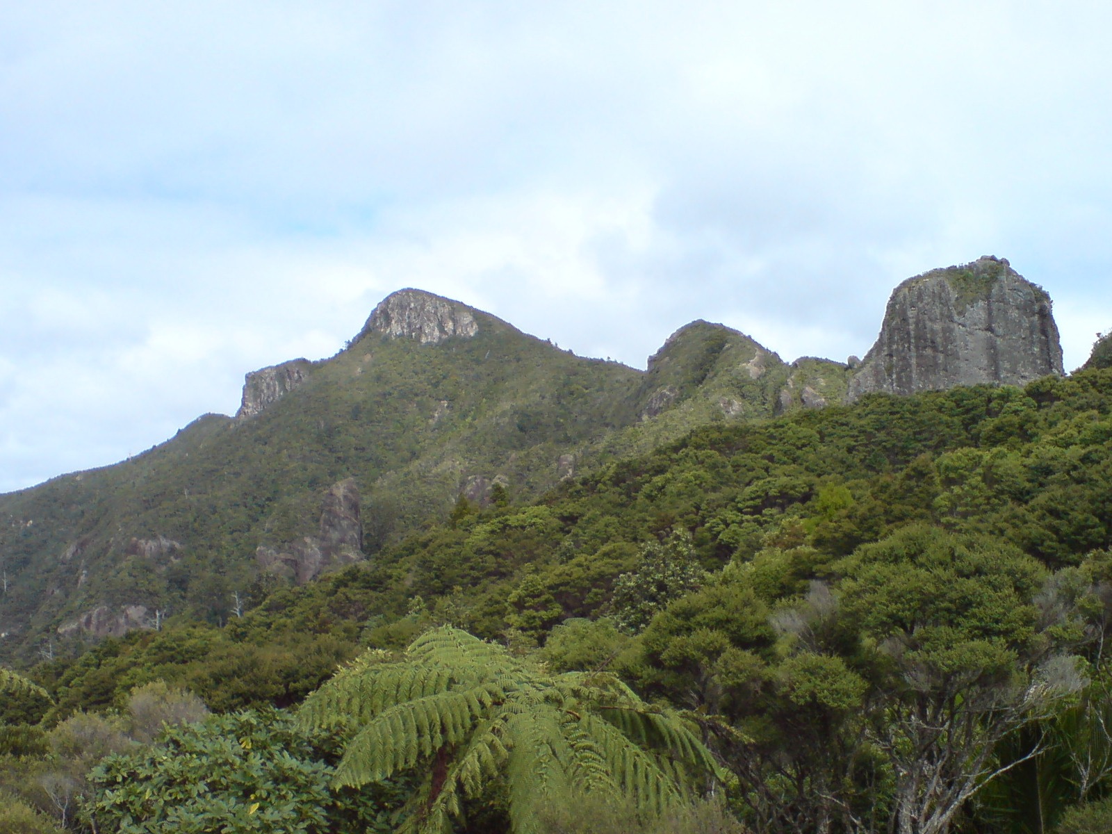
Volcanic Origins
Auckland Council's geoscience places this phase of rhyolitic volcanism at approximately 10 to 8 million years ago, in the late Miocene. The Hirakimatā caldera erupted ignimbrite, rock that formed as hot flows of ash and volcanic debris cooled. Erosion has cut into those deposits and the nearby rhyolite domes, leaving the rocky bluffs visible today.
Auckland Council's heritage documentation notes the presence of an unusual obsidian breccia at Hirakimatā and links it to the Māori name. The breccia contains angular pieces of volcanic glass.
Mana Whenua and the Sacred Peak
DOC identifies Hirakimatā as a maunga tapu — a sacred mountain — for Ngāti Rehua. Their oral history, as recorded by DOC, places the establishment of mana whenua on Aotea by Ngātiwai and the rangatira Rehua in the late 1700s. Those accounts also describe earlier settlement on the island. The Ngāti Rehua–Ngātiwai ki Aotea Deed of Settlement lists Maunga Hirakimatā alongside Mount Hobson as the proposed dual name.
Kauri Country and the Kaiaraara Dam
Kauri logging intensified on Aotea from the 1880s and continued into the early 1930s. DOC records that the forest near the summit was largely spared because the terrain made extraction difficult. Lower in the Kaiaraara valley, however, in 1926 George Murray of the Kauri Timber Company built the main Kaiaraara dam. It was about 40 metres wide and 14 metres high. Sudden releases of impounded water were used to drive felled logs downstream to the coast.
The surviving native forest documented by Auckland Council and DOC still contains old indigenous conifers on the upper slopes. Black petrels, known in Māori as takoketai, breed in burrows on those high slopes, returning from ocean feeding grounds during their breeding season, typically October to May. The slopes of Hirakimatā are the main breeding site for the species on Aotea.
A Photograph from the Summit in 1906
Henry Winkelmann's 1906 print, held by Auckland War Memorial Museum, shows three people resting on the summit during the Rangatira cruise. In the March 2007 photograph above, taken looking west, the rocky walls of Windy Canyon appear on the right.