
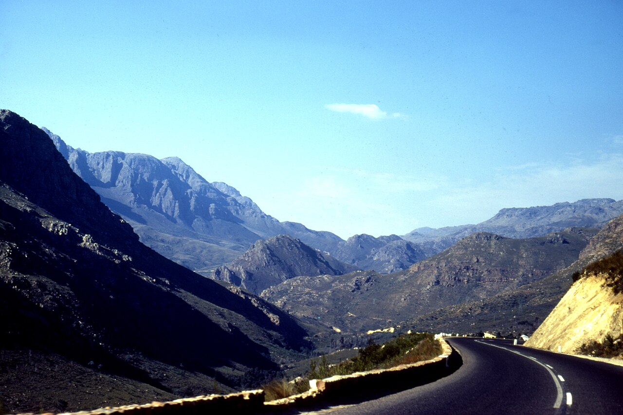
The Hex River Valley and Its Vineyards
Below the range, the Hex River Valley extends roughly 25 kilometres in length and 4 kilometres in width within the Breede Valley Municipality. The area around De Doorns and the broader valley floor supports extensive table-grape cultivation, drawing on irrigation water that includes runoff from the surrounding ranges. The municipality describes this corridor as one of the most intensively farmed vine districts in the country.
Quartzitic Sandstone and the Range's Relief
The pronounced topography of the Hex River Mountains reflects their geology. Folded quartzitic sandstone produces the hard, erosion-resistant ridges and cliff faces characteristic of the Cape Fold Belt, while shale bands at lower or transitional elevations weather more readily, contributing to varied slope profiles. This structural variety is noted in the CapeNature Hexrivier Complex planning documentation as relevant to both landform character and vegetation patterning.
Key Biodiversity Area Designation
The Hex River Mountains are listed in the Key Biodiversity Areas database under site reference 100803, reflecting the concentration of range-restricted and threatened species within the fynbos biome here. The KBA designation applies at range scale and relates specifically to biodiversity criteria assessed by the KBA programme rather than to any broader protected-area status. CapeNature administers conservation management across the Hexrivier Complex.