
Position on the Ridge
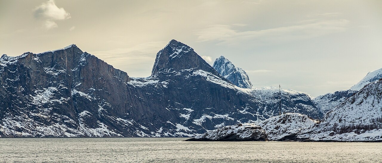
The western face of Hesten is visible from across Mefjorden, and the municipal trail inventory describes a Fjordgård approach that links Stavelitippen and Hesten along the same section of ridge. When seen from the fjord, the skyline runs through Hesten, Seggelskaret, Segla, and Grytetippen in sequence. A photograph taken from across Mefjorden in April 2017 shows Hesten on the left of this skyline, with Seggelskaret and Segla extending to the right.
Visitor Planning Context
The regional tourism organisation identifies Hesten as the viewpoint from which visitors recognise Segla's profile. Senja municipality's visitor plan records that a cover of National Geographic Traveller UK depicted Segla as seen from Hesten. Both trails begin from Fjordgård.
Trail management
In 2023, the Hesten trail was accepted into the Nasjonale turiststier grant scheme. That same year, the municipality planned a vulnerability study to assess the impact of visitors on the surrounding landscape.