
Ridge Geography and Community Landmarks
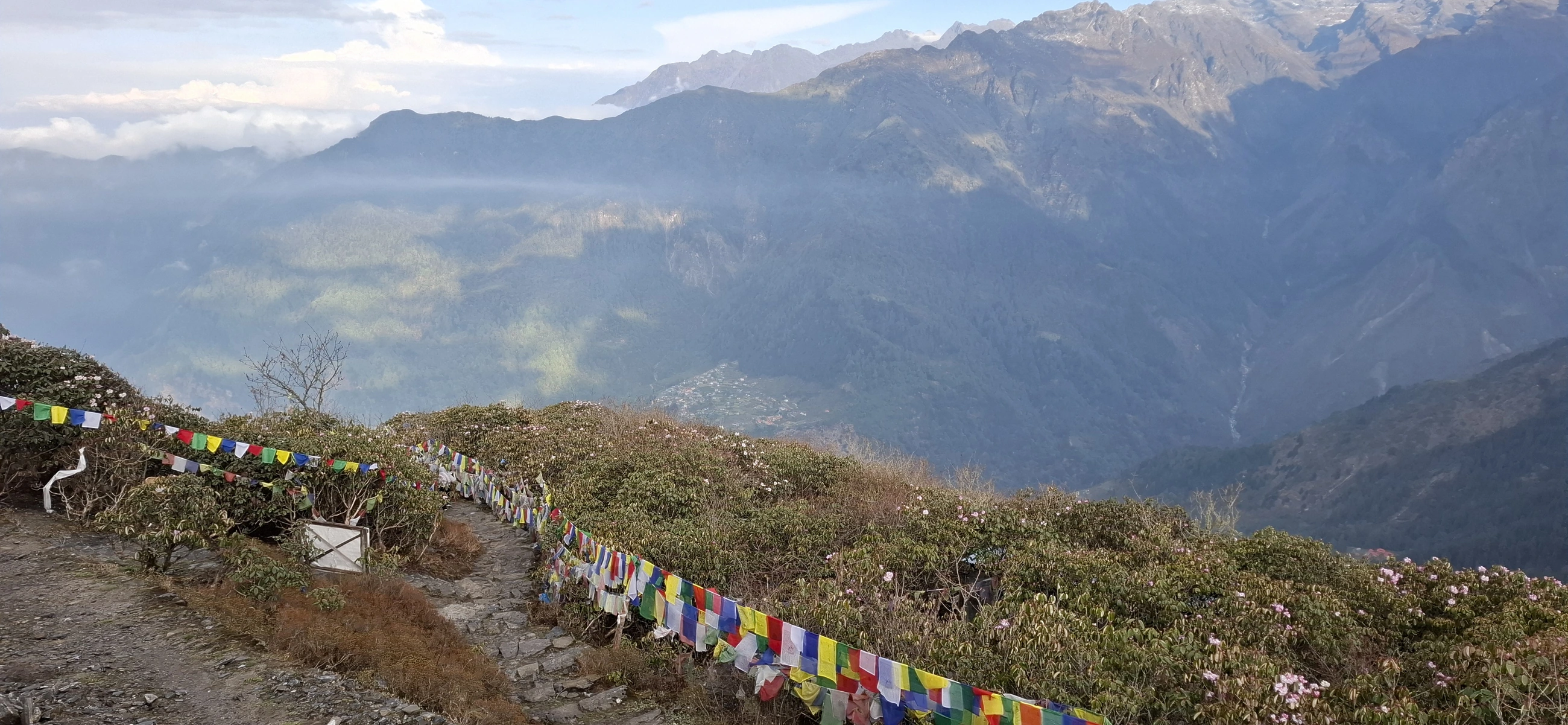
The Helambu Rural Municipality identifies Ama Yangri, Melamchighyang, Tarkeghyang and Sermathang among its landmarks. From Ama Yangri, Pratapbaniya’s photograph of 3 May 2025 shows prayer flags along the path, a village below and mountain ridges across the valley.
A Nepal Department of Archaeology survey described fir and rhododendron forests at around 3,000 to 3,700 metres in parts of Helambu. It recorded how villagers used the higher ground for summer grazing.
Sacred Landscape and Buddhist Heritage
The Hyolmo community identifies this landscape as Beyul Yolmo Gangra — a hidden sacred land in their religious tradition. Local traditions connect Padmasambhava with sacred sites across the region. A prayer dated 1630 attributed to the sixth Shamarpa names Jomo Yangri among protective figures, placing the landscape's sacred identity within documented Tibetan Buddhist textual history. Khenpo Nyima Dondrub of Melamchighyang is credited by the Hyolmo Heritage Project with writing an English-language guidebook on the region's sacred places and Buddhist history.
In 1976, a Nepal Department of Archaeology field team led by Janak Lal Sharma — with team members H. Shakya, T. R. Tamrakar, J. Sanday, and C. Jest — surveyed 16 of the 30 monasteries then registered in the region. The Helambu Rural Municipality's local profile records gompas, mani structures, and temples as ongoing features of the area's religious geography.
The Flood of 2021
On 15 June 2021, an exceptional flood event moved large volumes of sediment down the Melamchi River, affecting settlements and water infrastructure downstream. An ICIMOD rapid assessment identified a succession of interacting processes: warm conditions, snowmelt, and rainfall combined with stored sediment and landslide material already present in the catchment. Later studies using satellite imagery and terrain measurements traced the sediment to many eroded sites across the catchment.
The 2015 Gorkha earthquake left landslides in the catchment. Researchers traced some of the later erosion to those slopes and found that most erosion during the 2021 flood occurred in newly disturbed areas. Sediment from slopes and river channels joined the flood as it moved downstream.